An official website of the United States government
Here's how you know
The .gov means it’s official.
Federal government websites often end in .gov or .mil. Before sharing sensitive information, make sure you’re on a federal government site.
The site is secure.
The https:// ensures that you are connecting to the official website and that any information you provide is encrypted and transmitted securely.
Here you will find all the downloadable all of the materials in the Pest Management track of Module 7- Facilitators Guide. A hard copy of this module was distributed during each regional facilitators training session held between February and April 2001.
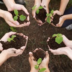
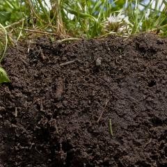
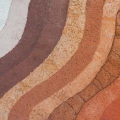
The Soil Biology Primer is an introduction to the living component of soil and how it contributes to agricultural productivity and air and water quality.
Annually, NRCS in New Hampshire helps support soils education in the Granite State and participates in the Envriothon with Middle and High School students to help develop their knowledge of soil science. Below are some resources for educators.
Learn how to calculate a single point texture class based on percent sand, silt, and clay. Including the optional sand fractions will refine the calculation.
A state soil is a soil that has special significance to a particular state. Each state in the United States has selected a state soil, twenty of which have been legislatively established.
The National Water and Climate Center manages big data from thousands of climate stations and manual data collection sites across North America, and makes that data available to the public.