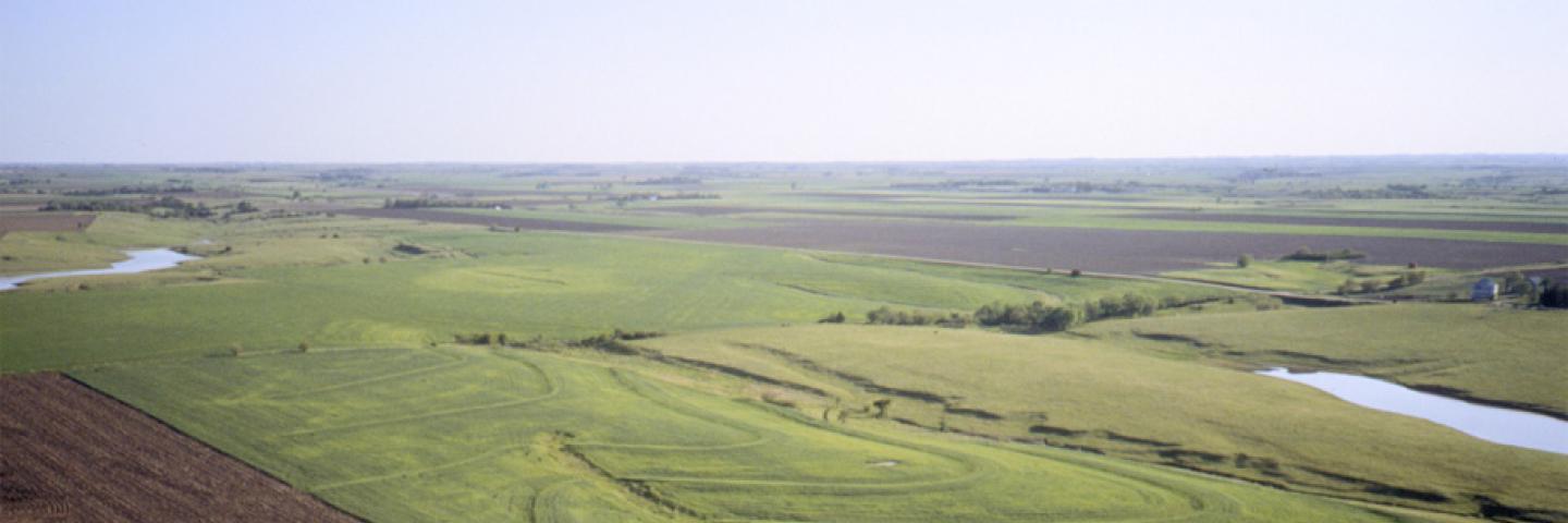
A state soil is a soil that has special significance to a particular state. Each state in the United States has selected a state soil, twenty of which have been legislatively established.
These “Official State Soils” share the same level of distinction as official state flowers and birds. Also, representative soils have been selected for the District of Columbia, Puerto Rico, and the Virgin Islands.
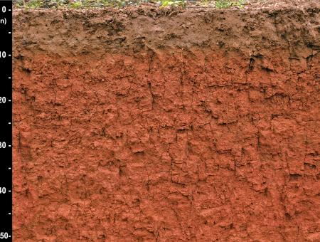
Areas with similar soils are grouped and labeled as soil series because their similar origins, chemical, and physical properties cause the soils to perform similarly for land use purposes. A soil series name generally is derived from a town or landmark in or near the area where the soil was first recognized. Each series consists of soils having major horizons that are similar in color, texture, structure, reaction, consistence, mineral and chemical composition, and arrangement in the soil profile. A soil profile is the sequence of natural layers, or horizons, in a soil. It extends from the surface downward to unconsolidated material. Most soils have three major horizons, called the surface horizon, the subsoil, and the substratum.
The surface layer has the maximum accumulation of organic matter and is the horizon of maximum leaching of clay minerals and of iron and aluminum oxides. Some soils have a subsurface layer below the surface layer. The subsoil, which underlies the surface layer or subsurface layer, is the horizon of maximum accumulation of clay minerals, iron and aluminum oxides and other compounds. These compounds may have been leached from the surface layer and redeposited in the subsoil, or may have formed in place. Most likely, they occur as a result of a combination of both of these processes. The subsoil commonly has blocky or prismatic structure and generally is firmer and lighter in color than the surface layer. The substratum is below the surface layer and subsoil. It consists of material that has been somewhat modified by weathering but is relatively unchanged by soil-forming processes.

Factsheets
Factsheets are available for each state along with representative soils for the District of Columbia, Puerto Rico, and the Virgin Islands

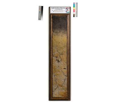
Monoliths
These photos were taken by the Smithsonian Institution. If you would like to use these photos in a publication, please credit: United States Department of Agriculture, Natural Resources Conservation Service. 2006. Photo by Chip Clark, Smithsonian.
Additional Information
Know your Soils!
For additional information, please see the State Soil Booklets from the Soil Science Society of America.
Contact Soils
Please contact us if you see something that needs to be updated, if you have any questions, or if you need accessibility assistance.

