The National Cooperative Soil Survey (NCSS) is a nationwide partnership dedicated to soils since 1899!
Don’t miss the 2024 NCSS Regional Conferences!
Southern: Lafayette, Louisiana – May 21-24
North Central: Platteville, Wisconsin – June 24-27
Western: Missoula, Montana – July 22-25
Northeast: Bridgewater, Massachusetts – July 29 - August 1
What Is the NCSS?
The National Cooperative Soil Survey (NCSS) is a nationwide partnership of Federal, regional, State, and local agencies and private entities and institutions. This partnership works to cooperatively investigate, inventory, document, classify, interpret, disseminate, and publish information about soils. NCSS standards are common or shared procedures that enhance technology transfer, data sharing, and communications among soil survey participants. NCSS cooperators collaborate on efforts to increase our understanding of soils through field studies, soil mapping projects, soil database development, and other technical soil services.
Anyone can join the NCSS. View the ArcGIS Story Map to learn more about us!

I cannot conceive of the time when knowledge of soils will be complete. Our expectation is that our successors will build on what has been done, as we are building on the work of our predecessors.
NCSS Projects
Learn more about projects that are a result of the National Cooperative Soil Survey via ArcGIS Story Maps.
Coastal Zone Soil Survey
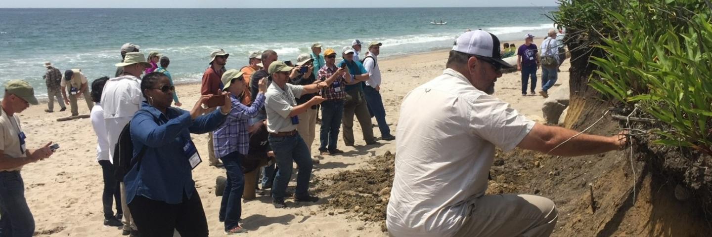
The NCSS is expanding the work to include data on the dynamic and important soil resources of our coasts and nearshore environments, a collaborative effort called Coastal Zone Soil Survey.
Urban Soil Survey
The need for a better understanding of urban soils is more important than ever, especially the need for accurate and proper documentation, soil mapping, and interpretation of soil changes in the urban environment.
Dynamic Soil Properties
Dynamic soil properties (DSPs) are soil properties that change with natural and anthropogenic disturbances and stressors including agricultural and wildland management. DSPs are indicators of soil function and soil change. Information about how soils change due to management and how those changes impact soil functions are crucial to sustainable soil management on all kinds of lands.
Ecological Site Descriptions
Ecological Sites are conceptual divisions of the landscape that are used to support management decision-making and aid in designing and interpreting research. Ecological sites are based on soil survey maps.
Contact Soils
Please contact us if you see something that needs to be updated, if you have any questions, or if you need accessibility assistance.

