
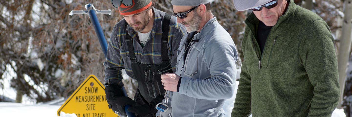
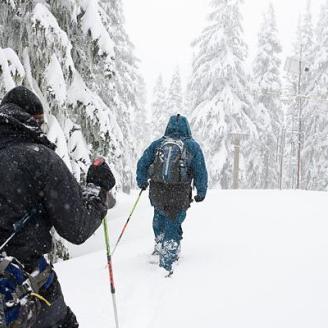
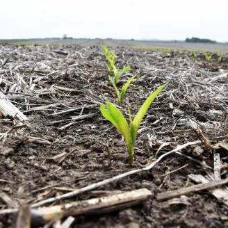
Utah’s Snow Survey Program Team works to provide mountain snowpack data and streamflow forecasts from across the state. This information can be a valuable tool for conservation planning, water supply management, flood control, drought and avalanche prediction, and recreation.
Current Data and Conditions
How is Utah's Snowpack Doing?
- Review current and historic snow water equivalent data from Utah's snow telemetry (SNOTEL) sites via these interactive graph or maps.
- Additional graphs and maps via our NWCC Apps platform
Water Supply Forecast Charts
- Create water supply forecast charts for Utah basins with this interactive forecast plot generator.
Utah Basin Conditions
- Review conditions of Utah basins with our interactive iMap or with these graphs.
- How is your favorite Utah basin doing? Or look at statewide basin conditions.
Snow Survey Data and Tools
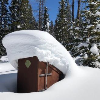
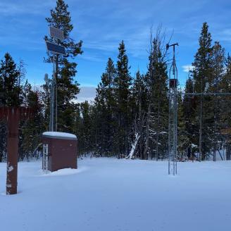
SNOTEL Sites
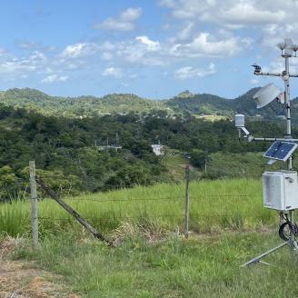
The Snow Telemetry Network (SNOTEL) is composed of over 900 automated data collection sites located in remote, high-elevation mountain watersheds in the western U.S. They are used to monitor snowpack, precipitation, temperature, and other weather conditions.
Individual Utah SNOTEL Site pages:
- Agua Canyon
- Atwater (near Alta Ski Area)
- Bear River RS
- Beaver Dams
- Beaver Divide
- Ben Lomond Peak
- Ben Lomond Trail
- Bevans Cabin
- Big Flat (near Eagle Point Resort)
- Black-Flat-U.M. Ck
- Blacks Fork Jct
- Bobs Hollow
- Box Creek
- Box Springs
- Brian Head (near Brian Head Resort)
- Brighton (near Brighton Resort)
- Brown Duck
- Buck Flat
- Buck Pasture
- Buckboard Flat
- Bug Lake
- Burts Miller Ranch
- Camp Jackson
- Cascade Mountain
- Castle Valley
- Chalk Creek #1
- Chalk Creek #2
- Chepeta
- Clayton Springs
- Clear Creek #1
- Clear Creek #2
- Corral
- Currant Creek
- Daniels-Strawberry
- Dill's Camp
- Donkey Reservoir
- Dry Bread Pond
- Dry Fork
- East Willow Creek
- EF Blacks Fork GS
- Farmington
- Farmington Lower
- Farnsworth Lake
- Fish Lake Utah
- Five Points Lake
- Garden City Summit
- Gardner Peak
- GBRC HQ
- GBRC Meadows
- George Creek
- Gold Basin
- Gooseberry RS
- Gooseberry RS Up
- Gutz Peak
- Hardscrabble
- Harris Flat
- Hayden Fork
- Henrys Fork
- Hewinta
- Hickerson Park
- Hobble Creek
- Hole-in-Rock
- Horse Ridge
- Huntington Horse
- Jones Corral
- Kilfoil Creek
- Kimberly Mine
- Kings Cabin
- Klondike Narrows (near Beaver Mountain Resort)
- Kolob
- Lakefork #1
- Lakefork #3
- Lakefork Basin
- Lasal Mountain
- Lasal Mountain-Lower
- Lightning Ridge
- Lily Lake
- Little Bear
- Little Grassy
- Lonesome Beaver
- Long Flat
- Long Valley Jct.
- Lookout Peak
- Lost Creek Resv.
- Louis Meadow
- Mammoth-Cottonwood
- Merchant Valley
- Midway Valley
- Mill Creek Canyon
- Mill-D North
- Mining Fork
- Monte Cristo
- Mosby Mtn.
- Mt Pennell
- Mt Baldy
- Oak Creek
- Panguitch Lake RS
- Parleys Summit
- Parleys Upper
- Parrish Creek
- Payson R.S.
- Pickle Keg
- Pine Creek
- Powder Mountain (near Powder Mountain Resort)
- Red Pine Ridge
- Redden Mine Lwr
- Rees Flat
- Rock Creek
- Rockwood GS
- Rocky Basin-Settleme
- Santaquin Meadows
- Seeley Creek
- Smith & Morehouse
- Snowbird (near Snowbird Resort)
- Spirit Lk
- Steel Creek Park
- Strawberry Divide
- Sunflower Flat
- Suu Ranch
- Takka Wiiya
- Temple Fork
- Thaynes Canyon (near Park City)
- Thistle Flat
- Timberline
- Timpanogos Divide
- Tony Grove Lake
- Tony Grove RS
- Trial Lake
- Trout Creek
- Upper Jones Valley
- Usu Doc Daniel
- Vernon Creek
- Webster Flat
- White River #1
- Widstoe #3
- Wilbur Bench
- Wolf Creek Peak
- Wrigley Creek
- Yankee Reservoir
Streamflow Forecasts
A streamflow forecast is a prediction of water volume that will flow past a point on a stream during a specified season, typically in the spring and summer. These forecasts help water managers and farmers prepare for the spring runoff.
To learn more about how streamflow forecasts are made and how to interpret them, here is a general overview or a technical description.
Interactive Map
The links provided below have been customized to share frequently requested data. After opening a map, users may filter parameters and bookmark the link to save their settings. Review this interactive map guide for more information.
Current conditions: Basins, Subbasins, Station/basins combined
Snow: Snow water equivalent (percent normal), Snow water equivalent (value), Snow density, Snow depth
Precipitation: Water year to date (percent normal), Water year to date (value)
Soil Moisture: Volumetric water content (value), Volumetric water content (percent normal), Volumetric water content (percent saturation)
Reservoirs: Reservoir storage (value), Reservoir storage (percent normal), Reservoir storage (percent of capacity)
Streams: Streamflow (value), Streamflow (percent normal)
Forecasts: Forecast streamflow volume (KAF), Forecast streamflow volume (percent normal)
Reports
The most recent monthly reports for Utah.
Water Supply Outlook Report: Data on streamflow, forecasts, reservoir storage and other hydrologic information.
Special Reports: Issued outside of our normal report schedule, these are distributed to alert media and the water user community of significant departures from normal snow or water supply conditions, or to provide important operational updates.
Utah Water Availability Update: Summaries of Utah's precipitation, soil moisture, reservoir, and streamflow conditions outside of the snowpack season.
Individual Site and Basin Data Graphs
Explore graphs detailing period of record and projection data for snow water equivalent, precipitation, air temperature, and soil moisture from individual SNOTEL sites and basins in Utah.
Current Water Year Data
Current data for Utah
- Update Report (table of current conditions)
- Basin Data Reports
- Report Generator (obtain SNOTEL, SCAN, SNOLITE, or other data)
- Snow course data
- Pre-set data from SNOTEL sites (drop-down menu of different data options)
- Storm Totals
- Bar graphs for Utah basins: Snow Water | Precipitation (% normal for major Utah watersheds)
- Advanced users (source data)
- Maps for Utah data
- Basin Reservoir Charts
Western U.S. summary data
- Western U.S. snowpack & precipitation summary
- Snow, precipitation, reservoir, and forecast reports for each state
- Snow to Flow graphs (BOR)
Historical snow data
- Report Generator (obtain historical SNOTEL, SCAN, SNOLITE, or other data)
- Snow course data (monthly historical data from manual snow measurement sites)
SCAN Program
The SCAN program began as a soil moisture/soil temperature pilot project of the Natural Resources Conservation Service in 1991. The system is designed to provide data to support natural resource assessments and conservation activities. More recently, the Tribal SCAN program was developed to support similar activities on Tribal lands across the U.S.
The SCAN system focuses on agricultural areas of the U.S. and is composed of over 200 stations. A typical SCAN site monitors soil moisture content at several depths, air temperature, relative humidity, solar radiation, wind speed and direction, liquid precipitation, and barometric pressure. More about SCAN sensors.
Individual SCAN sites in Utah:
- Alkali Mesa
- Blue Creek
- Buffalo Jump
- Cache Junction
- Cave Valley
- Chicken Ridge
- Circleville
- Dugway
- Eastland
- Enterprise
- Ephraim
- Goshute
- Grantsville
- Green River
- Grouse Creek
- Hals Canyon
- Harms Way
- Holden
- Little Red Fox
- Manderfield
- Mccracken Mesa
- Milford
- Morgan
- Mountain Home
- Nephi
- Panguitch
- Park Valley
- Price
- Sand Hollow
- Split Mountain
- Spooky
- Tule Valley
- Vermillion
- West Summit
Additional Resources
Snow Survey and Water Supply Forecasting Program: States in the West collect mountain snowpack and precipitation data. Individuals, organizations, and state and federal agencies use the information provided for decisions relating to:
Snow Survey Websites:
NWCC apps:
Misc. Resources:
- SNOSTAT: A map detailing current sensor issues for Utah, Nevada and California SNOTEL and SCAN sites.
- Disturbance Map: A map detailing environmental disturbances at SNOTEL sites.
*Due to challenges inherent in identifying SNOTEL site disturbances and complexities related to sensor issues, please contact the Utah Data Collection Office with any questions about the information on these maps.
Additional (non-NRCS) resources:
- Utah Avalanche Center
- NOAA Weather Prediction Center
- PRISM Group Drought Indicator
- USGS National Integrated Water Availability Assessments concept map
- Monthly Fuel and Rangeland Production Forecasts
Utah Snow Team Publications:
Snow Survey Team
| Name | Position | Phone Number | |
|---|---|---|---|
|
Jordan Clayton
|
Snow Survey Team Supervisor
|
||
|
Troy Brosten
|
Hydrologist
|
||
|
Douglas Neff
|
Electronics Technician
|
||
|
Logan Jamison
|
Hydrologist
|
||
|
Claire Stellick
|
Hydrologist
|
||
|
Spencer Donovan
|
Hydrologist
|
||
|
Kori Mooney
|
Hydrologist
|