
Exploration, Invention, and Evolution Still Abound After 125 Years of Soil Surveys
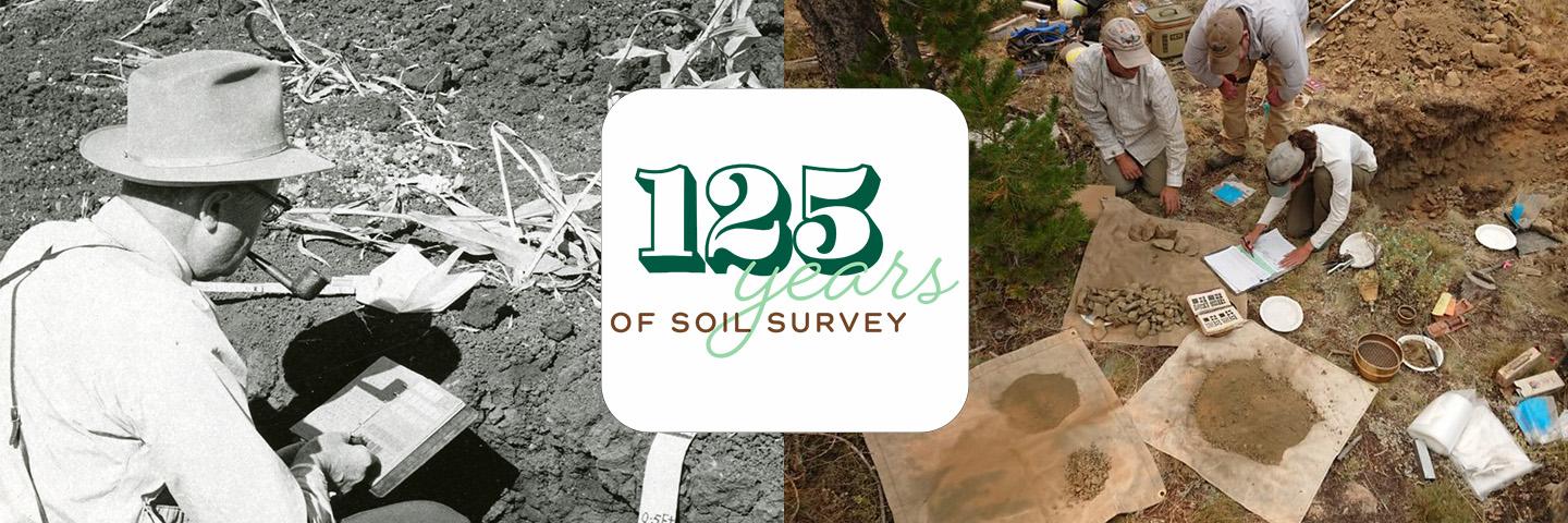
In 1899, Congress authorized funds for USDA to investigate the soil resources of the United States in the field and laboratory, and the first soil surveys began. We celebrate and continue to build upon a 125-year legacy by providing soil data to inform, protect, and sustain future generations.
By Terry J. Cosby, Chief, Natural Resources Conservation Service
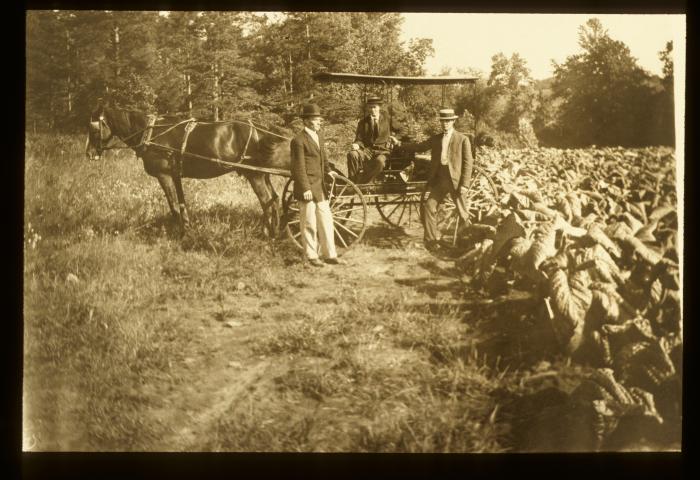
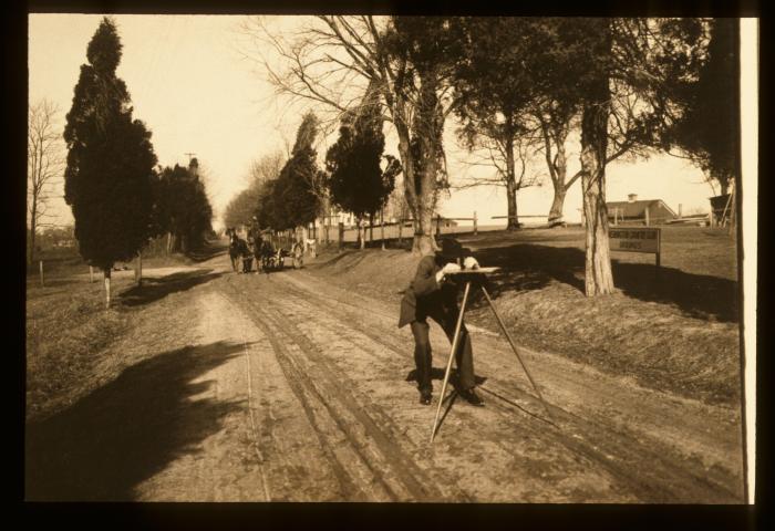
It’s 1899, and as the world prepares for a new century, railroad tycoon Edward Henry Harriman, along with a large crew, embarks on a two-month expedition to catalog the flora and fauna of the Alaskan coast; Joshua Lionel Cowen invents and patents the electric flash-lamp; and aviation pioneer Wilbur Wright discovers wing warping for aircraft wings.
With the spirit of exploration and invention in the air, Congress recognized the vital role soil surveys play in guiding agricultural development and supporting community planning and resource development. On May 3, 1899, Congress authorized funds for the U.S. Department of Agriculture (USDA) to investigate the soil resources of the United States in the field and laboratory, and the first soil surveys began. By the end of 1899, USDA mapped 720,000 acres and published four separate soil surveys in parts of Maryland, Connecticut, Massachusetts, Utah, and New Mexico.
After 125 years, USDA soil surveyors and partners continue to map soils in new areas, collecting data on what are called static soil properties, or those that change over thousands of years. They also revisit mapped soils to explore dynamic soil properties, such as soil organic carbon and structure, which change within the human timescale. These changes can be from natural factors, like soils eroding during a severe rain event, and human-caused factors, like soils building carbon as a result of good conservation practices.
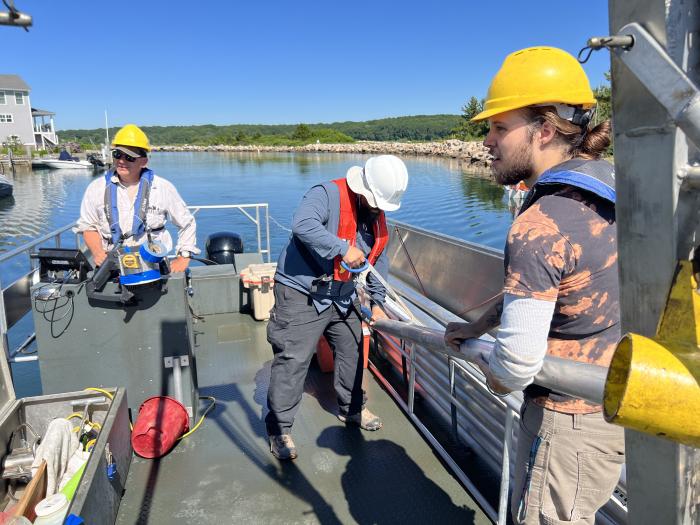
Our knowledge of soils increases each year as we evolve with new technology, types of field and laboratory equipment, and ideas. Our experience observing, investigating, and researching in the field leads to new standards, methodology, and new and improved products for public use. Traditionally, we have conducted soil surveys on land to determine the best soils for growing corn, building a pond, maintaining wetlands, or supporting roads; however, today, we even conduct soil surveys from specialized boats in coastal zones!
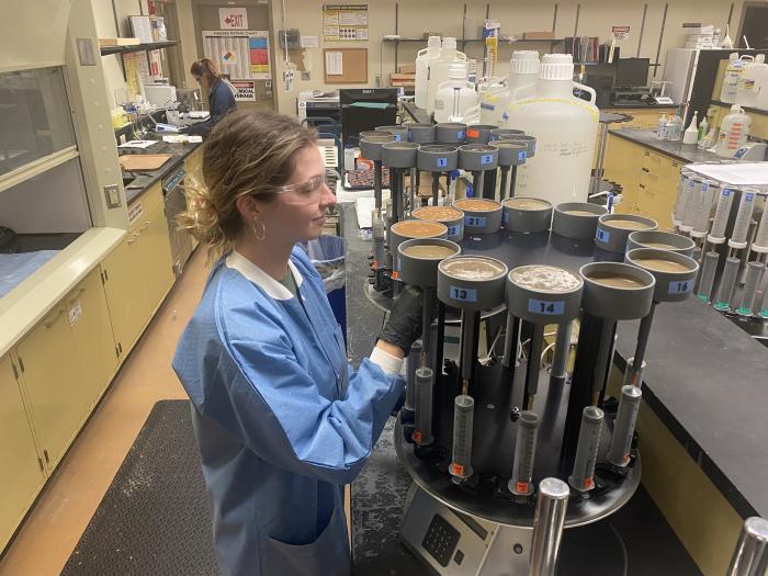
The USDA’s Natural Resources Conservation Service (NRCS) is founded on the need to understand the soil resources of our nation. Data-driven and science-based, we fulfill a legislative mandate to inventory the soil resources and keep the soil survey relevant to ever-changing needs through the National Cooperative Soil Survey (NCSS).
We set standards in classification, mapping, and laboratory procedures with the largest and highest resolution inventory of natural resource data in the world used by our staff for conservation planning, application ranking criteria, and Highly Erodible Land determinations, among other services. The USDA NRCS’ world-renowned Kellogg Soil Survey Laboratory (KSSL) provides data and standards to the international community, as well as for our state conservation staff, supporting conservation activities involving soil health, wetlands, and ecological sites.
How Can Soil Surveys Help You?
Soil data assist farmers, ranchers, foresters, land managers, and conservation planners in effectively managing, conserving, and appraising their most valuable investment—the soil. The data can help determine soil-related hazards or limitations that affect home sites. It can help estimate the potential crop or forage production of a farmer’s land. Soil data can also help determine the suitability of soil for housing areas, onsite sewage disposal systems, pipelines, buildings, landfills, and recreation areas.
The fruits of our labor with soil surveys are visible in the productive soils we walk on, the food we eat, and the air we breathe. We will continue to build upon our 125-year legacy by providing soil data to inform, protect, and sustain future generations.
Where to Get Soil Survey Information for Your Area
Visit the NRCS website for more information about soil surveys in your area or to locate your State Soil Scientist. Web Soil Survey is a one-stop shop for free soil information and soil maps, properties, and interpretations. Learn more about NRCS’ Soil Science.