
Charges, activities, and contact information for the Coastal Zone Soil Survey Focus Team.

Overview
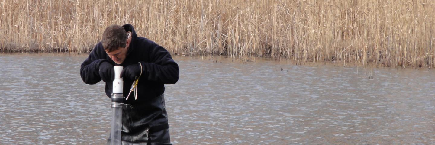
Since the 1990s, soil survey mapping and data collection have been improving the soil survey along the coastal zone from the Mid-Atlantic to New England. This includes the dunes, marshes, beaches, and shallow sub-tidal soils in coastal lagoons, bays, and inlets. Coastal zone soil surveys are now available in Web Soil Survey for Connecticut, Delaware, Maryland, New Jersey, and Rhode Island. The NCSS is expanding this work throughout the coastal U.S. with Massachusetts and New York scheduled to be the next survey areas added.
For more information, please visit coastal zone soil surveys.
Charges
- Coordinate coastal zone mapping activities across division (procedures, equipment, safety)
- Identify training needs
- Identify needs to update standards – propose solutions
- Identify needs to update taxonomy – propose solutions
- Assemble existing data
- Identify gaps
- Work with BOA and MGT to provide guidance on priority areas
Meetings
The Coastal Zone Soil Survey Focus Team meets on Microsoft Teams on a bi-weekly basis on Tuesdays from 1 p.m. to 2 p.m. EST.
Bi-weekly meeting minutes are available via CloudVault.
Links
Coastal Zone Soil Survey Story Map
Coastal Zone Soil Survey Project Interactive Map
Projects

National Coastal Blue Carbon Assessment Project
Sub-Team
Accomplishments
Contact
Additional Information
Coastal Zone Soil Survey
Definition, why it's needed, history, and additional information.
Learn More