
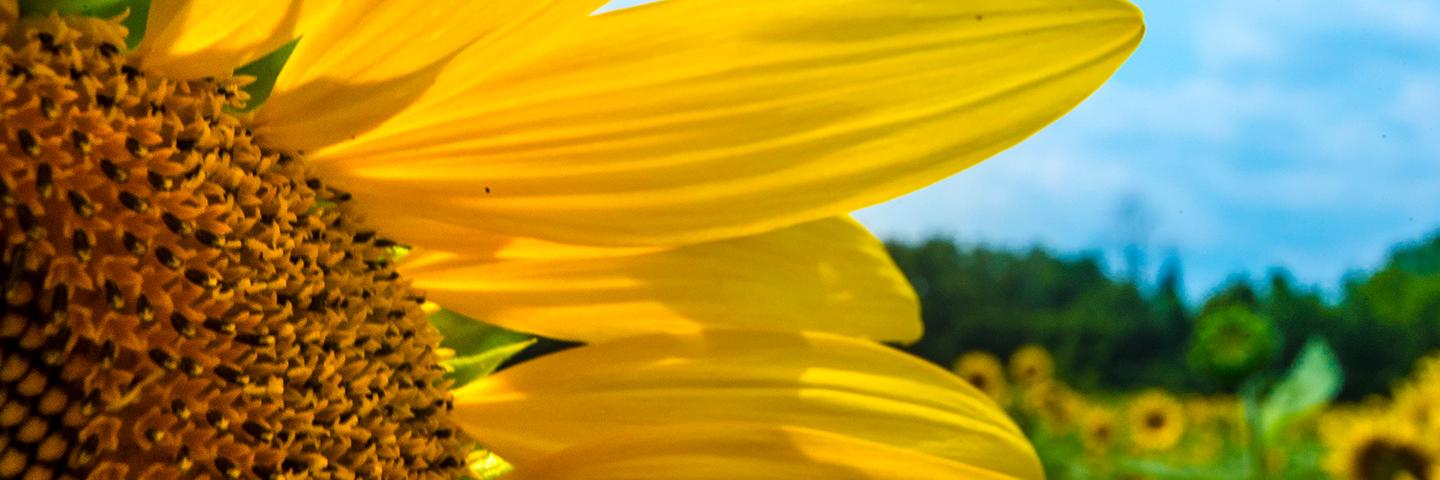
Cropland Assessments
Conservation Effects Assessment Project (CEAP) cropland assessments quantify the effects of voluntary conservation efforts across the nation’s cropland at both regional and national scales.
Official websites use .gov
A .gov website belongs to an official government organization in the United States.
Secure .gov websites use HTTPS
A lock (
) or https:// means you’ve safely connected to the .gov website. Share sensitive information only on official, secure websites.
USDA’s Conservation Effects Assessment Project (CEAP) is a multi-agency effort led by the Natural Resources Conservation Service (NRCS) to quantify the effects of conservation practices across the nation’s working lands.
Through CEAP, USDA quantifies and reports on trends in conservation practices, and associated outcomes, over time. CEAP findings are used to guide conservation program development and support conservationists, agricultural producers, and partners in choosing the most effective conservation actions and making informed management decisions backed by data and science.
CEAP assessments are carried out at national, regional, and watershed scales for conservation efforts related to cropland, grazing land, wetlands, and wildlife.
CEAP provides assessments and associated conservation outcome insights for multiple land uses and conservation goals. These assessments empower a diversity of customers to evaluate conservation successes, identify potential improvements, and set targeted, measurable goals for the future.
You may access CEAP assessments for the following areas of focus. Click on each for additional information.
The below blogs, fact sheets, reports, and webinars represent recent resources and key findings released by CEAP. Visit this webpage frequently to see what's new, or browse by the above focus areas to find specific content for a given conservation scope.

NRCS published results from the latest national CEAP cropland assessment in March 2022. This report provides data on national and regional trends in cropland conservation, and associated effects.
Text then image on right
