

Access maps and databases on soils throughout the United States based on soil surveys conducted since 1899.
Download Soil Color maps by State
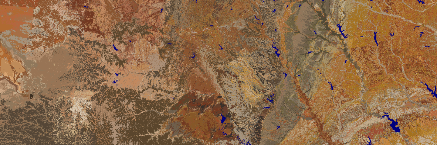
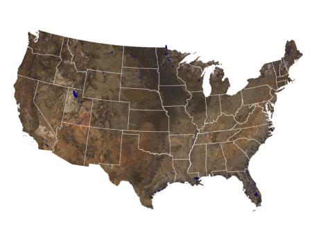
Maps that show soil color at various depths for individual States and the Continental United States.
Soil Geographic Databases
- Federal Soil Geographic Data Development and Maintenance
- Digital Soil Geographic Databases (GIS-ready)
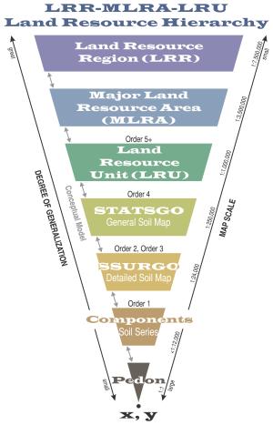
- Land Resource Regions (LRR) and Major Land Resource Areas (MLRA)
- Gridded National Soil Survey Geographic Database (gNATSGO)
- Soil Landscapes of the United States (SOLUS)
- U.S. General Soil Map (STATSGO2)
- Soil Survey Geographic (SSURGO) Database
- SSURGO Portal (Beta) Application
- Gridded Soil Survey Geographic (gSSURGO) Database
- Raster Soil Surveys (RSS)
- National Cooperative Soil Survey Soil Characterization Database (Pedons)
- Citing Our Databases
Soil Geographic Tools
- Web Soil Survey
- Soil Data Access
- USDA Geospatial Data Gateway
- Soil Data Viewer
- Series Extent Explorer
- Soil Landscapes 3-D Block Diagrams
Other Natural Resource Data Sources
- National Resources Inventory (NRI)
- Official Soil Series Descriptions (OSD)
- Soil Classification Database (SC)
- World Soil Resources maps
Internal Soil Geographic Data Management
- NASIS
- MLRA Soil Survey Office Areas
- SPSD Office Locations
- SPSD Region Polygons
- NRCS Soil Data Warehouse Staging Site
- Web Soil Survey Rule and Report Manager Version 1.0
- SC/OSD Maintenance Tool (eAuth and NASIS OSD group membership required)
Contact Soils
Please contact us if you see something that needs to be updated, if you have any questions, or if you need accessibility assistance.