

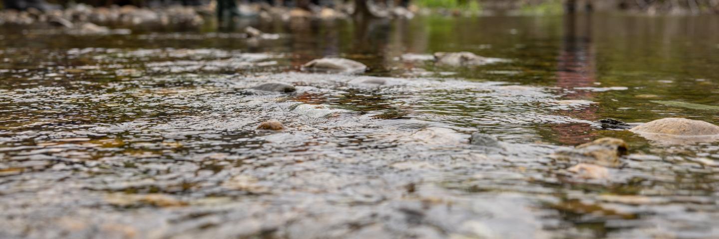
Besides the beautiful green mountains, Vermont is well-known for water resources. From the highest mountain streams to majestic Lake Champlain, Vermont's water systems provide unique animal habitat, human recreational opportunities, and help to sustain the people who live here.
Content:
- Protecting the Waters of Vermont
- Vermont NRCS Strategic Watershed Protection Approach
- Source Water Protection
- Wetland Conservation Provisions
- Partners
Protecting the Waters of Vermont
While Lake Champlain tends to be the focus of NRCS water quality work in Vermont, many other areas have been identified as target priorities. Vermont's Department of Environmental Conservation has a Tactical Basin Planning Process that highlights the importance of protecting Vermont's crucial water resources including the Connecticut River, Hudson River, and more. Find out more here. Additionally, the Vermont Agricultural Water Quality Partnership (VAWQP) is dedicated to collaborating with and supporting agricultural producers in their efforts to improve water quality.
National Water Quality Initiative (NWQI)
As USDA’s premiere water quality initiative, NWQI provides a way to accelerate voluntary, on-farm conservation investments and focused water quality monitoring and assessment resources where they can deliver the greatest benefits for clean water.
NWQI has been extended through Fiscal Year (FY) 2023, with some updates to strengthen program delivery. Updates include a focus on watershed assessment and planning and use of multi-year budgets to demonstrate long-term commitment in assisting water quality efforts.
NRCS invested over $30 million in targeted assistance to help farmers and ranchers improve water quality in high-priority streams and rivers across the country in 2020. In FY21, NRCS will have 175 watersheds receiving financial assistance, and 211 watersheds total that will be developing watershed assessments and outreach strategies.
Vermont NRCS Strategic Watershed Planning Approach
Goal: Measurable Water Quality Improvements
NRCS’s Lake Champlain Strategic Watershed Planning Approach was created to accelerate improved water quality in critical areas by collaborating with partners to provide outreach, education, technical, and financial assistance to agricultural producers. This effort will help farmers in meeting the agricultural phosphorus reductions identified in the Lake Champlain Total Maximum Daily Load (TMDL).
State, federal and local partners developed a multi-factor ranking process to identify the most critical subwatersheds for accelerated agricultural conservation practice implementation. Factors included, but were not limited to, the amount of agricultural phosphorus runoff to the lake, areas with the most significant water quality problems, and watersheds with significant public interest.
Six watersheds were selected for accelerated and targeted agricultural practice implementation over the next 5 years:
Rock River
Pike River
St. Albans Bay
McKenzie Brook
East Creek
Hungerford Brook
NRCS developed watershed plans for each of the selected watersheds. These plans include: a resource assessment for the watershed, development of watershed phosphorus reduction goals that are tied to the new TMDL requirements, and detailed action plans to implement the plan. The development of the plans was guided by local watershed groups, comprised of state and federal partners, local watershed groups, concerned citizens, and local farmers.
The watershed plans will be used by NRCS and partners to:
- Identify potential critical areas on farms for conservation practice implementation
- Set phosphorus reduction and practice implementation goals for each watershed
- Estimate funding required to implement needed conservation practices
- Identify actions required to meet goals in each watershed
- Track progress in reaching goals over time
As part of each watershed project, a Partnership Agreement was developed with various organizations to assist with contacting farmers, helping with Farm Bill program signups, and serving as case managers for the farmers.
NRCS partners include: Vermont Agency of Natural Resources-Department of Environmental Conservation; Vermont Agency of Ag, Food, and Markets; USDA Farm Service Agency; Vermont Association of Conservation Districts; Lake Champlain Basin Program; University of Vermont Cooperative Extension; the US Fish and Wildlife Service; the Friends of Northern Lake Champlain; the Champlain Valley Farmers Association; St. Albans Area Watershed Association; Franklin Watershed Association; and the Lake Carmi Watershed Association.
Source Water Protection
In FY19, NRCS expanded the scope of NWQI to include source water protection, including both surface and ground water public water systems, and is now a special component of NWQI. Focus is on those agricultural lands located within a source protection area of a public water system. The Source Protection Area (SPA) is the area through which contaminants are reasonably likely to reach a public water system's drinking water source (ie. well, spring, reservoir, lake, river). The SPA boundaries determine the recharge area that supplies water to a public water source. There are 9 implementation projects and 14 readiness projects in FY21. NWQI assists partners in adapting and expanding source water protection plans to identify critical source areas needing further treatment related to agricultural land uses in an effort to protect and reduce the risk to drinking water sources.
Vermont NRCS' identified source water protection areas (SWPA's) are:
- Headwaters of the Passumpsic River Watersheds
- Vernon Dam-Connecticut River Watersheds
- South Stream Wallomsac River
- Jail Branch
- Headwaters of Brown River
- East Creek
- New Haven River
- Sodom Pond Brook Winooski River
- Stony Brook Black River
- Hungerford Brook
- Lords Creek
- Rock River
- Black Creek
- Hardwood Lake Dam Lamoille River
Eligible farmers in these watersheds can receive increased payment rates to install key high priority conservation practices that address source water protection. See the map below.
Highlights of Source Water Protection Areas (SWPA):
• Identifying local priority areas for drinking water protection in each state is done in collaboration with State Technical Committees and community water systems and may address concerns about either the quality or quantity of source water or both.
• Providing increased incentives for practices that relate to water quality and quantity and protect drinking water sources while also benefitting producers.
Conservation practices were identified to support the objectives of the source water protection plans in the five Vermont watersheds.
Conservation Crop Rotation-328
Cover Crop-340
Ground Water Testing-355
Riparian Forest Buffer-391
Filter Strip-393
Heavy Use Area Protection-561
Nutrient Management- 590
Pest Management Conservation System-595
Agrichemical Handling Facility-309
Well Decommissioning-351
SWPA Watershed Contacts:
Headwaters Passumpsic River Watershed--Newport NRCS Field Office at 802-624-7013
Vernon Dam, Connecticut River Watershed--Brattleboro NRCS Field Office at 802-689-3037
Headwaters of the Brown River--Middlebury NRCS Field Office at 802-771-3038
Jail Branch--Middlebury NRCS Field Office at 802-771-3038
South Stream Wallomsac River--Rutland NRCS Field Office at 802-334-6090 ext. 7010
Conservation Partner Contact: Laura Ranker, Source Water Protection Specialist, Vermont Department of Drinking Water and Groundwater Protection Division, VT Dept. of Environmental Conservation, (802) 828-1535
Wetland Conservation Provisions
In order to maintain eligibility for most USDA programs, producers must comply with the Wetland Conservation (WC) provisions, agreeing they will not:
- Plant an agricultural commodity on a converted wetland;
- Convert a wetland to make possible the production of an agricultural commodity.
The Natural Resources Conservation Service (NRCS) is responsible for providing program participants technical assistance and determinations to assist them in complying with the provisions.
The technical contact for wetlands is Wetland Specialist Jim Eikenberry.
- Phone: (802) 449-7255
- email: james.eikenberry@usda.gov
Partners
NRCS in Vermont works collaboratively with many partners to provide technical and sometimes financial assistance to Vermont citizens with the goal of improving water quality through reduced nutrient and sediment loadings to surface waters of the State from agricultural sources.
Our Partners Include:
- Lake Champlain Basin Program
- University of Vermont Extension System
- Vermont Agency of Agriculture Food & Markets (VAAFM)
- Vermont Agency of Natural Resources (ANR)
- Vermont Department of Environmental Conservation (DEC)
- Vermont DEC Watershed Management Division (River Management, Stormwater, Wastewater, Wetlands)
- Vermont Association of Conservation Districts (VACD)
- Vermont Rural Water Association