

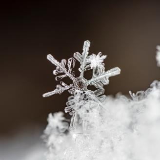
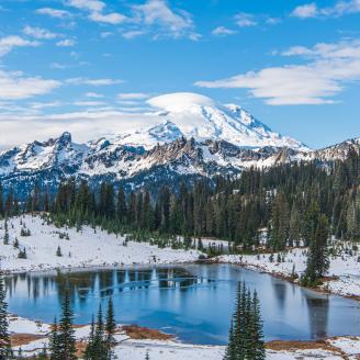
The NRCS Snow Survey Program provides mountain snowpack data and streamflow forecasts for the western United States. Common applications of snow survey products include water supply management, flood control, climate modeling, recreation, and conservation planning.
Interim Issue Resolution: Air Temperature Data Bias
The extended range air temperature sensors used at SNOTEL sites in the continental U.S. calculate temperature from sensor output voltage using a linear least-squares regression algorithm. It has been determined that use of the linear least-squares regression algorithm has resulted in a data bias. The Snow Survey and Water Supply Forecasting Program is actively working on a correction technique for this issue.
More Information:
Snow Survey Data, Products, and Reports
Snow & Precipitation
Snow & Precipitation
I. Today's Summary Reports, Maps & Graphs
- Daily Snow and Precipitation Update Report
- Interactive Map
- Report Generator data Search
- Weekly Water and Climate Update
- List-Based Access to SNOTEL Data -Contains most recent hourly data (where available)
- Water Year Graph of Snowpack & Precipitation (Current water year and 30-yr average data)
II. Monthly Data
- Water Supply Forecast Products
- Basin Data Reports (Includes snow courses, SNOTEL, Precipitation, Reservoir & Forecasts)
- Monthly Reservoir Reports and Graphics
- Basin Average Map of Western US Snowpack (historic thru 2018)
- Basin Average Map of Columbia Basin Snowpack (historic thru 2018)
Water Supply
Water Supply
I. Streamflow Forecasting
- Water Supply Forecast Charting Tool NEW
- Western US Streamflow Forecast Map (50% probability)
- Western US Streamflow Forecast Tables
- Daily Water Supply Forecast Charts
II. Reservoir Storage
Climate
Climate
I. Additional Resources for Climate Information
Additional Snow Survey Information & Quick Links
- USDA Drought Resources
- Today's Snowpack & Precipitation Update Report: Washington