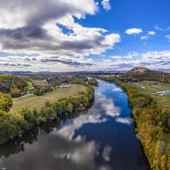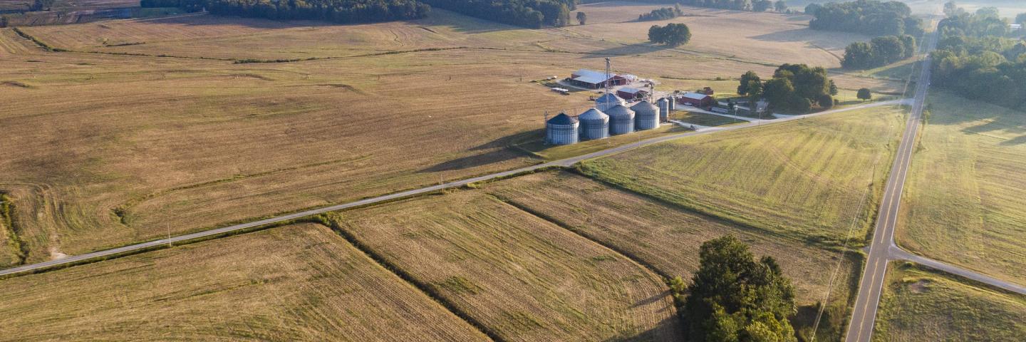
The National Resources Inventory (NRI) is a statistical survey of land use and natural resource conditions and trends on U.S. non-Federal lands.
About the National Resources Inventory
The NRI program collects and produces scientifically credible information on the status, condition, and trends of land, soil, water, and related natural resources on the nation’s non-federal lands in support of efforts to protect, restore, and enhance the lands and waters of the United States. Data from the NRI provide the foundation for shaping major agri-environmental policy and land use decisions nationwide.
The NRI was initially mandated by the Rural Development Act of 1972 (P.L. 92-419) to conduct a “land inventory reflecting soil, water, and related resource conditions.” It requires assessments of resource quantity and quality, as well as change and trends, allowing for regular resource appraisals on the effectiveness of soil and water conservation practices, irrigation techniques, and farming technologies, techniques, and practices. The NRI is conducted by USDA's Natural Resources Conservation Service (NRCS) in cooperation with Iowa State University’s Center for Survey Statistics and Methodology.
The NRI sample is a stratified area sample of 49 States (excludes Alaska), Puerto Rico, and the Virgin Islands. Its primary sampling units are areas of land called “segments,” within which detailed data on soil properties and land use are collected at a random sample of points. The resulting database is a longitudinal data set containing variables from 1982, 1987, 1992, 1997, and annually from 2000 through 2017. Annual collections after 2000 are subsamples of about 72,000 segments selected from the 1997 iteration. Approximately half of those segments, called “core segments,” are included in the sample each year, while the other half are changed from year to year.
The location of NRI segments and points used to create the estimates and other identifying details are confidential information as mandated by law, 7 USC 2276, and interpretive policy delineated in NRCS General Manual Title 290, Part 400.11, B(4) in Appendix A.
Access NRI Data Via the Land Use and Cover Inventory Database
NRCS released the Land Use and Cover Inventory Database (LUCID) in October 2023. Through LUCID Public, users outside of USDA may now create custom estimates of NRI data. No account or login information is required.
LUCID Public includes NRI data for the years 1982, 1987, 1992, 1997, and 2000 to 2017. Data may be searched via an interactive menu to produce estimated values for either a single year or a combination of years. Searches may be filtered by geographic area at the state or county level for a number of variables (e.g., land cover or use, conservation practice, urbanization, irrigation, erosion, grazing lands, and wetlands) in terms of area in acres or related erosion characteristics.
Both a LUCID User Guide and 2023 NRI Technical Manual are available for users interested in learning more. Please email NRI@usda.gov with any questions about LUCID Public or the NRI.
NRI Results and Methodology
Below are published NRI reports, dashboards, and documentation of methodology.
NRI Results
Summary Reports:
Dashboards:
Special Reports:
NRI Methodology
Statistical Design:
-
Nusser, S. M., and J. J. Goebel (1997) "The National Resources Inventory: A Long-Term Multi-Resource Monitoring Programme," Environmental and Ecological Statistics, 4(3):181- 204
-
Goebel, J. J. (1998) "The National Resources Inventory and Its Role in U.S. Agriculture," "Agricultural Statistics 2000", Proceedings of the conference on agricultural statistics organized by the National Agricultural Statistics Service of the US Department of Agriculture, under the auspices of the International Statistical Institute.
-
Nusser, S. M., F. J. Breidt, and W. A. Fuller (1998) "Design and Estimation for Investigating the Dynamics of Natural Resources," Ecological Applications, 8(2):234-245.
-
Fuller, W. A. (1999) "Estimation procedures for the United States National Resources Inventory," 1999 Proceedings of the Survey Methods Section, Statistical Society of Canada.
-
Nusser, S. M., J. M. Kienzler and W. A. Fuller (1999) "Geostatistical Estimation Data for the 1997 National Resources Inventory." Working paper.
Data Collection:
-
Instructions for Collecting 2017 National Resources Inventory Data
The data collection instructions used during the data collection phase of the 2017 NRI.
Glossary:
Natural Resources Assessment
NRCS documents the effects of conservation practices and systems so that better decisions can be made and risk is managed more effectively. NRCS cooperates with other Federal and State agencies and conservation partners to collect and analyze natural resource data.