
The Soil Climate Analysis Network, also known as SCAN, supports natural resource assessments and conservation activities through its comprehensive, nationwide soil moisture and climate information network.
The Soil Climate Analysis Network (SCAN) began as a soil moisture/soil temperature pilot project of the Natural Resources Conservation Service in 1991. The system is designed to provide data to support natural resource assessments and conservation activities. More recently, the Tribal Soil Climate Analysis Network (Tribal SCAN) was developed to support similar activities on Tribal lands across the U.S.
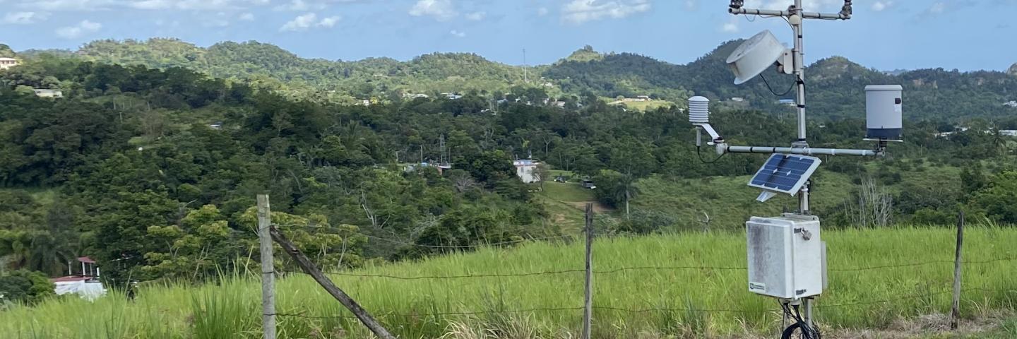
The SCAN system focuses on agricultural areas of the U.S. and is composed of over 200 stations. A typical SCAN site monitors soil moisture content at several depths, air temperature, relative humidity, solar radiation, wind speed and direction, liquid precipitation, and barometric pressure.
Soil Data, Products, and Resources
Reports
Predefined report templates
Daily SCAN Standard Report Last 7 Days | Last 7 Days by State | Current Year | Period of Record
Hourly SCAN Standard Report Last 24 Hours | Last 24 Hours by State
Filter by State Active SCAN Station List

Tribal SCAN
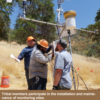
Various tribes operate a soil moisture and climate information network on Tribal lands, in cooperation with NRCS. The Tribal Soil Climate Analysis Network (also known as Tribal SCAN) supports natural resource assessments and conservation activities through its network of automated climate monitoring and data collection sites. The network focuses on agricultural areas which are situated on Tribal lands in the United States.
Tribal SCAN Metadata Report
National Water and Climate Center
The National Water and Climate Center administers the Snow Survey and Water Supply Forecasting Program and the Soil Climate Analysis Network, and manages the Water and Climate Information System.
Decision Tools for the Soil Climate Analysis Network
This site provides decision tools and resources using data from weather stations in the SCAN and Tribal SCAN Networks. This project is a collaboration between the following partners USDA, NRCS, ACIS, and Cornell University.
NASA Soil Moisture Active Passive (SMAP) Mission
The Soil Moisture Active Passive (SMAP) mission is an orbiting observatory that measures the amount of water in the surface soil everywhere on Earth.