

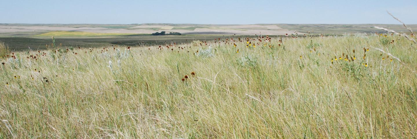
Roosevelt County, situated in the northeast corner of Montana, covers 2,639 square miles and has a population of 11,059. The North Dakota state line forms its eastern border and the Missouri River is its southern border. The Fort Peck Reservation, home to the Assiniboine and Sioux people, makes up over half the county’s area. Most of the county consists of upland glaciated plains.
NRCS offices, located in Poplar and Culbertson, offer voluntary technical and financial assistance to private landowners interested in natural resource conservation based on a focused approach using long range planning with local input.
Current Financial Assistance Opportunities for Roosevelt County Landowners
- Virtual Fencing for Improving Grazing Land Health and Ranch Viability TIP
- Fort Peck Drought Resiliency- Feed Base Recovery Targeted Implementation Plan (TIP)
- Roosevelt County Tree Targeted Implementation Plan (TIP)
- Fort Peck Reservation Rangeland Improvement Targeted Implementation Plan (TIP)
- Sage Grouse Initiative
- Taking Soil Health to the Next Level - Miles City Area TIP
- Montana Grassland Restoration TIP
- Montana Grasslands and Wildlife Corridors RCPP Project
In addition to these local projects, producers may also apply for statewide programs such as the Conservation Stewardship Program, national Environmental Quality Incentives Program initiatives, and conservation easement programs. For more information on these and other programs, see State Programs and Initiatives on the NRCS Montana webpage.
Additional Information
Montana Local Working Groups
Every year, county Conservation Districts and the NRCS host local working group meetings where farmers, landowners, conservation partners, and other stakeholders in the community discuss the natural resource needs for the county. Based on this feedback, NRCS updates the county’s long-range plan and develops new Targeted Implementation Plans to address those resource concerns.
Montana Focused Conservation
In Montana, NRCS uses a “Focused Conservation” strategy to guide its EQIP investments. Montana Focused Conservation begins with goals identified in local-level Long Range Plans. Based on those plans, NRCS develops Targeted Implementation Plans (TIPs) to guide on-the-ground implementation.
Learn MoreWhat's Available in My Montana County?
Current local financial assistance opportunities in Montana, listed by county. In addition to the local opportunities, producers may also apply for statewide and national programs.
Learn MoreMontana Programs and Application Dates
Program applications are accepted on a continual basis, however, NRCS establishes application dates for evaluation, ranking and approval of eligible applications. Applications received after the date will be automatically deferred to the next funding period.
Learn More