
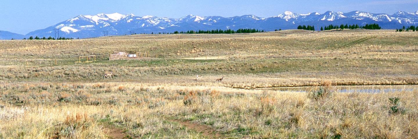
The tri-county area’s numerous valleys contain an abundance of lakes, rivers, streams and wetlands and are dominated by grass and shrub communities. The lowlands transition to the foothills of the Rocky Mountains where bunchgrass communities and low-altitude forests of Douglas-fir and ponderosa pine begin. The three counties contain portions of the Swan, Lewis and Clark, Garnet, Nevada, Boulder, Anaconda, Flint Creek, Pioneer and Highland Ranges of the Rocky Mountains.
Powell County is the largest of the three in area and has a population of 6,852. Its largest city is Deer Lodge. Deer Lodge County, population 9,131, and Silver Bow County, population 34,514, are both consolidated city-counties, with the largest cities being Anaconda and Butte, respectively. Most of the land in the tri-county area is publicly-owned, with the majority of the public land belonging to the US Forest Service.
The irrigated acres in the counties are forage which includes hay and pasture. Primary agricultural products include livestock (primarily cattle, some sheep), small grains (spring and winter wheat, oats, barley and corn), and forage (grass and alfalfa). NRCS offices in Deer Lodge and Whitehall, offer voluntary technical and financial assistance to private landowners interested in natural resource conservation based on a focused approach using long range planning with local input.
Current Financial Assistance Opportunities for Landowners in Powell, Deer Lodge and Silver Bow Counties
- Avon Stockwater Targeted Implementation Plan (TIP)
- Avon Conifer Encroachment Targeted Implementation Plan (TIP)
- North Ovando Fuels Reduction Targeted Implementation Plan (TIP)
- Helmville Grazing Management Targeted Implementation Plan (TIP)
- Grizzly Conflict Mitigation Targeted Implementation Plan (TIP)
- Helmville Valley Conifer Encroachment Targeted Implementation Plan (TIP)
- Montana Grassland Restoration TIP (Powell)
In addition to these local projects, producers may also apply for statewide programs such as the Conservation Stewardship Program, national Environmental Quality Incentives Program initiatives, and conservation easement programs. For more information on these and other programs, see State Programs and Initiatives on the NRCS Montana webpage.
Mill Creek Fish Passage and Irrigation Diversion Project
This project was begun by landowners and completed in 2021 through a partnership effort. The project supports agricultural production through irrigation as well as allowing for fish passage on the stream without entrainment.
Cottonwood-Baggs Fish Passage Project
In the late fall of 2019, the Clark Fork Coalition finished a stream reconnection project on Baggs Creek and Cottonwood Creek in the upper Clark Fork, where 8 miles of stream was opened to fish passage for the first time in many decades. Cottonwood Creek also benefited from a large fish screen project (1st of its kind in Montana!), which will drastically reduce entrainment of juvenile and adult trout. NRCS supported this project through the Upper Clark Fork River Drought Resiliency RCPP Project.
Additional Information
Powell, Deer Lodge, and Silver Bow Counties Local Working Group Meetings
Local working group meetings are held to gather input from local stakeholders to help prioritize natural resource concerns and guide NRCS funding opportunities.
Montana Focused Conservation
In Montana, NRCS uses a “Focused Conservation” strategy to guide its EQIP investments. Montana Focused Conservation begins with goals identified in local-level Long Range Plans. Based on those plans, NRCS develops Targeted Implementation Plans (TIPs) to guide on-the-ground implementation.
Learn MoreWhat's Available in My Montana County?
Current local financial assistance opportunities in Montana, listed by county. In addition to the local opportunities, producers may also apply for statewide and national programs.
Learn MoreMontana Programs and Application Dates
Program applications are accepted on a continual basis, however, NRCS establishes application ranking dates for evaluation, ranking and approval of eligible applications. Applications received after the ranking date will be automatically deferred to the next funding period.
Learn More