
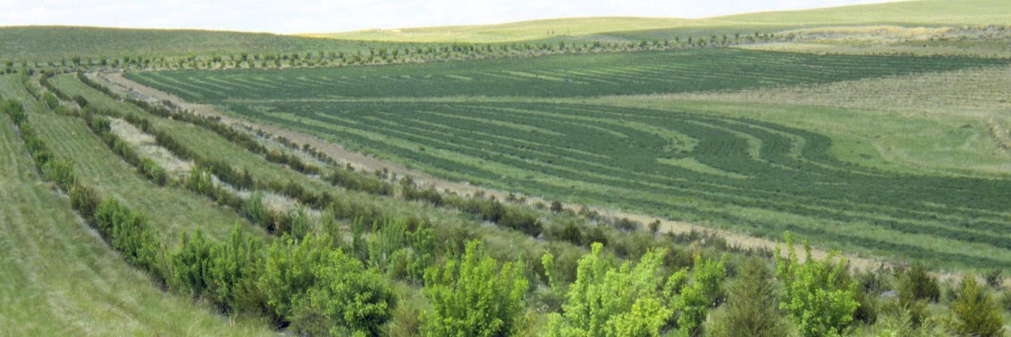
McCone County, located in central northeastern Montana, encompasses 2,683 square miles. The Missouri River forms the county’s northern boundary and Fort Peck Lake lies on its western border. Most of the 1,675 residents in McCone County live on farms and ranches. Circle, the county’s largest town, has a population of 614. The majority of land in the county is privately owned.
The McCone County climate features hot, dry summers, relatively low precipitation, and cold, dry winters. Wheat, corn for grain, pulses, and forage are the primary crops raised. The NRCS office, located in Circle, offers voluntary technical and financial assistance to private landowners interested in natural resource conservation based on a focused approach using long range planning with local input.
Current Financial Assistance Opportunities for McCone County Landowners
- Deferred Grazing Drought Recovery TIP
- Eastern McCone Invasive Annual Grass Project TIP
- Montana Grasslands and Wildlife Corridors RCPP Project
- Terry Work Unit Water Development for Drought Resilience TIP
- Virtual Fencing for Improving Grazing Land Health and Ranch Viability TIP
- Montana Grassland Restoration TIP
In addition to these local projects, producers may also apply for statewide programs such as the Conservation Stewardship Program, national Environmental Quality Incentives Program initiatives, and conservation easement programs. For more information on these and other programs, see State Programs and Initiatives on the NRCS Montana webpage.
Additional Information
McCone County Local Working Group
Local working group meetings are held to gather input from local stakeholders to help prioritize natural resource concerns and guide NRCS funding opportunities.
Montana Focused Conservation
In Montana, NRCS uses a “Focused Conservation” strategy to guide its EQIP investments. Montana Focused Conservation begins with goals identified in local-level Long Range Plans. Based on those plans, NRCS develops Targeted Implementation Plans (TIPs) to guide on-the-ground implementation.
Learn MoreWhat's Available in My Montana County?
Current local financial assistance opportunities in Montana, listed by county. In addition to the local opportunities, producers may also apply for statewide and national programs.
Learn MoreMontana Programs and Application Dates
Program applications are accepted on a continual basis, however, NRCS establishes application dates for evaluation, ranking and approval of eligible applications. Applications received after the date will be automatically deferred to the next funding period.
Learn More