
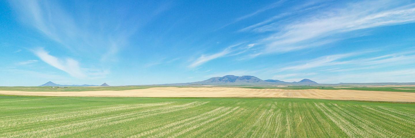
Liberty County is in the north-central part of Montana, bordered by Canada to the north, and has a land area of about 1447 square miles. Chester, the county seat, is in the central part of the county. Elevation ranges from 2,750 feet up to 6,958 feet in the Sweet Grass Hills in the far northwest. The Marias River, the only perennial stream in Liberty County, flows from West to East across the southern portion of the county.
About 65 percent of the county area is used as cropland, 34 percent as rangeland and 1 percent is woodland. With a growing season that ranges from 90 to 125 days, the principal crops are winter wheat, spring wheat and barley, with pulse crops across rotations. The main economic enterprises are growing small grains and raising beef cattle. The NRCS office, located in Chester, offers voluntary technical and financial assistance to private landowners interested in natural resource conservation based on a focused approach using long range planning with local input.
Current Financial Assistance Opportunities for Liberty County Landowners
- Migratory Bird Resurgence Initiative
- Golden Triangle Conversion of Expired CRP to Grazing Land TIP
- Marias River TIP
- Montana Grassland Restoration TIP
In addition to these local projects, producers may also apply for statewide programs such as the Conservation Stewardship Program, national Environmental Quality Incentives Program initiatives, and conservation easement programs. For more information on these and other programs, see State Programs and Initiatives on the NRCS Montana webpage.
Additional Information
Liberty County Local Working Group
Local working group meetings are held to gather input from local stakeholders to help prioritize natural resource concerns and guide NRCS funding opportunities.
Montana Focused Conservation
In Montana, NRCS uses a “Focused Conservation” strategy to guide its EQIP investments. Montana Focused Conservation begins with goals identified in local-level Long Range Plans. Based on those plans, NRCS develops Targeted Implementation Plans (TIPs) to guide on-the-ground implementation.
Learn MoreWhat's Available in My Montana County?
Current local financial assistance opportunities in Montana, listed by county. In addition to the local opportunities, producers may also apply for statewide and national programs.
Learn MoreMontana Programs and Application Dates
Program applications are accepted on a continual basis, however, NRCS establishes application ranking dates for evaluation, ranking and approval of eligible applications. Applications received after the ranking date will be automatically deferred to the next funding period.
Learn More