
Annual Soils Refresh
The Annual Soils Refresh updates soil survey data and interpretations once a year.
Background
Each year on October 1, the USDA NRCS Soil and Plant Science Division performs an Annual Soils Refresh (ASR) of the publicly available soil survey database for soil survey areas in the United States and its island territories. The soil survey database includes both tabular and spatial data. The ASR introduces new soil data and interpretations and updates existing soil data and interpretations. It also ensures all official soil data conform to national standards. The data are available to the public through Web Soil Survey, Soil Data Access, and SSURGO Portal.
The most recent ASR made new and updated data available on October 1, 2025. The 2025 ASR included the following updates to tabular and spatial data.
Tabular data (soil properties and interpretations):
- Validated all data against a common standard
- Ensured consistent use of the national soil data dictionary
- Published new and updated tabular data
- Ensured nationally required interpretations included in every survey area
Spatial data (soil maps):
- Resolved minor gaps and overlaps along soil survey boundaries
- Incorporated mapping updates completed through the regular soil survey review and update process
2025 Annual Soils Refresh
Changes to soil survey data vary by survey area. Most areas will see only minor updates, and data will appear consistent with the previous year’s data. However, approximately 10 to 20 percent of soil survey areas will have more significant changes resulting from the USDA NRCS’ rigorous soil survey update project planning process.
Major additions to the official soil survey database in 2025:
- Tabular and spatial data refreshed for all soil survey areas
- 3,379 soil survey areas published
- 41,974,803 acres of new soil data added
- 116,727 new soil polygons added
- 2,227 new map units added
- 20,321 new soil components added
- 75,702 new soil horizons added
- 119 national soil interpretations published
Soil survey data are managed by USDA NRCS State offices. For more detailed information about changes released through the ASR, contact your State soil scientist.
Annual Soils Refresh Information by Year
The links below contain detailed information about ASRs since 2021, including which soil survey areas were updated.
Stay Informed
Want to find out more? You can subscribe to get soil-related information or get help with your questions by following the links below.
- To stay updated about various soil-related issues, subscribe to GovDelivery, which is a free service.
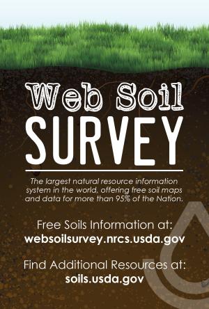
- For assistance with Web Soil Survey, send inquiries to SoilsHotline@usda.gov.
- For assistance with Soil Data Access, send inquiries to SoilDataAccess@usda.gov.
- For assistance from the Soils Hotline, a State soil scientist, or a local NRCS service center, click the “Contact Us” link in Web Soil Survey or visit the contact information page for State soil scientists.
- For questions about soil data in a specific State, contact the State soil scientist.
- For more information on Web Soil Survey, see “I Want Help With…” on the Web Soil Survey Home Page or visit the NRCS Soils web page.