
Water Supply Outlook Report Details Record-Breaking Winter Season in Utah
“Our statewide SWE has broken all previous snowpack records,” shared Snow Survey Supervisor Jordan Clayton, “This has truly been a memorable snow season.”
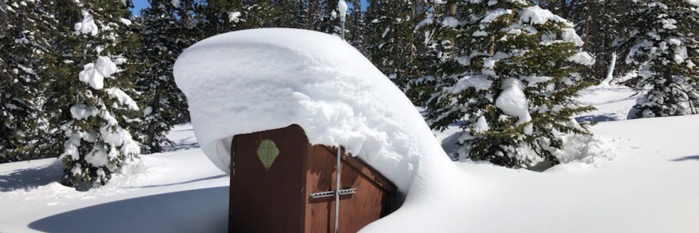
SALT LAKE CITY, April 6, 2023 – The Utah Water Supply Outlook Report for April was released today and details a winter to remember, with statewide snow water equivalent (SWE) measured at 200% of normal as of April 1, compared to 75% of normal at that time last year.
“Our statewide SWE has broken all previous snowpack records,” shared Snow Survey Supervisor Jordan Clayton, “This has truly been a memorable snow season.”
All of Utah’s major watersheds were above 130% of normal precipitation as of April 4, with four at record-high levels (Provo-Utah Lake-Jordan, Tooele Valley-Vernon Creek, Beaver, and Lower Sevier). The historic snowpack is a welcome sign given the last several years of equally historic drought in the state, but while reservoir storage is at 54% of capacity and small to medium-sized reservoirs will likely fill, the effect will be less dramatic for the critically low Lake Powell or the Great Salt Lake. “Utahns will need to continue to conserve water to help make progress replenishing our storage systems,” Clayton said.
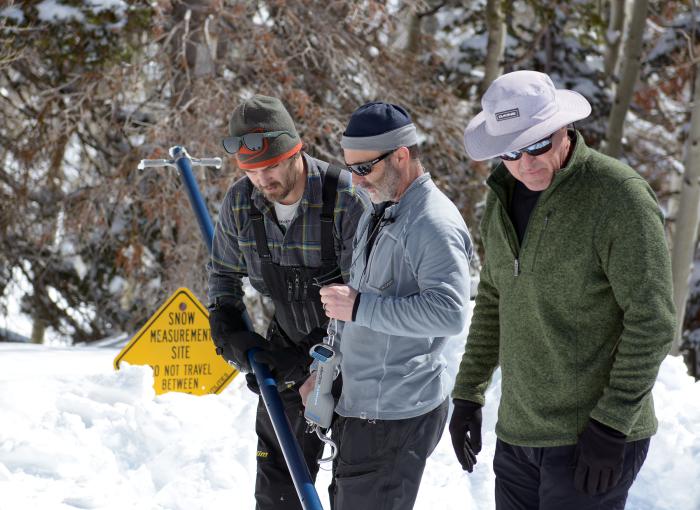
Snowmelt runoff is likely to break its own previous records this spring, with greater than 200% of median flow forecasted for 61 out of 82 stream gage locations, at greater than 400% predicted for 15 locations. With growing flood concerns, it’s important to note that NRCS streamflow forecasts from April to July snowmelt runoff volume are based on observed SWE and precipitation at Utah’s SNOTEL (snow telemetry) sites and are volumetric. This information does not provide guidance on peak discharge magnitude at stream gage locations.
Flood forecast estimates can be obtained from the National Weather Service. A forecast comparison tool is also available online with information from both NRCS and the National Oceanic Atmospheric Administration (NOAA) Colorado Basin River Forecast Center.