

Arkansas engineering technical documents, drawings, and software have been moved to Section 1 of the Arkansas e-FOTG.
Our Vision: Excellence in Conservation, by Design
Our Mission: Leading Innovative Engineering Solutions to Natural Resource Conservation

Watershed Plan for Lake Bennett Watershed Woolly Hollow State Park
Project Overview
The Lake Bennett Watershed Project was the first project in the United States established to scientifically study the effects of water runoff and erosion control from a specific watershed. The overall watershed for the project is 35,000 acres. The project included building structures within the watershed to test if erosion could be controlled. Principles tested within the Lake Bennett Watershed laid the foundation for soil conservation practices considered common today. Strip cropping, terracing, crop rotation and planting soil-retaining vegetation are now soil protection methods used nationwide. It continues to have historic and symbolic significance.
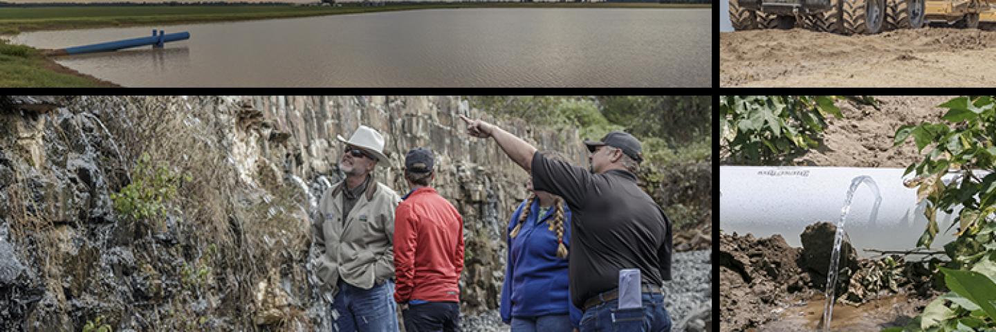
The key component of the project was the construction of Lake Bennett within a 2,700-acre watershed. The dam was constructed circa 1934–1939 by the Soil Conservation Service and consists of an earthen structure built around a masonry core. It is named in honor of Hugh Hammond Bennett, the founder of the U.S. Soil Conservation Service. The 35-foot high earthen and masonry rock core dam has a 27-acre pool. In addition to the dam, small erosion control structures were designed and built in the watershed. Lake Bennett is wholly located in the popular Woolly Hollow State Park located off Highway 285 north of Greenbrier, Arkansas.
Purpose and Need of Action
During a record rainfall event on April 30, 2017, floodwaters scoured several large holes in the downstream face of the dam. The dam is still fully functioning; however, the downstream slope must be repaired. An Emergency Watershed Protection Program (EWP) funded project is currently underway to rebuild the dam to a stable and pre-disaster condition. However, even after repair, the dam will not meet dam safety criteria for a high hazard dam. In the event of a failure, the resultant flood wave would be a threat to human lives, a park residence, county roads and adjacent private property including several homes.
Proposed Action
The proposal is to complete a watershed plan to bring the dam up to current dam safety standards by either lowering the potential hazard classification or constructing measures to allow the dam to meet high hazard criteria or a combination of both. The dam will meet the Watershed Protection, Public Recreation, Public Fish and Wildlife, Water Quality Management purposes of the PL-566 program and depending on the planned alternative should meet the Flood Prevention Purpose. In addition, it will meet the purpose of preserving a cultural and historic resource.