
The Connecticut NRCS soils program is responsible for providing technical soil services—assisting government agencies and private citizens in understanding and applying soil information for the state.

The Connecticut NRCS soils program provides technical soil services—assisting government agencies and private citizens in understanding and applying soil information for the state.
Connecticut's NRCS staff continues to improve soil data and products to meet the needs of current and emerging resource concerns for our customers, partners, and cooperators. Soils information provides the foundation for managing and conserving natural resources. The Soil Survey of the State of Connecticut is one of the most frequently downloaded soil surveys in the country. Connecticut and Rhode Island both feature subaqueous soil mapping in their respective soil surveys. An effort to accelerate the publishing of seamless subaqueous mapping for all of Connecticut’s nearshore areas is currently underway as part of the Long Island Sound Coastal Zone Soil Survey project. This project will also result in significant updates to existing salt marsh soil survey data.
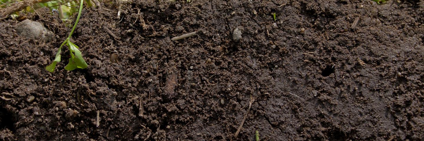
Soil is a vital part of the natural environment. It influences the distribution of plant species and provides a habitat for a wide range of organisms. It controls the flow of water and chemical substances between the atmosphere and the earth, and acts as both a source and store for gases in the atmosphere. Soil, together with the plant and animal life it supports, forms an amazing, intricate natural system.
The Natural Resources Conservation Service (NRCS), in cooperation with its partners, has the leadership role for conducting soil surveys on private lands across the country. The Connecticut NRCS soils program is responsible for providing technical soil services—assisting government agencies and private citizens in understanding and applying soil information for the state of Connecticut. Below, you will find links to soil history, useful information, tools and resources by topic.
Web Soil Survey
Web Soil Survey (WSS) provides soil data and information produced by the National Cooperative Soil Survey. It is operated by the USDA Natural Resources Conservation Service (NRCS) and provides access to the largest natural resource information system in the world. NRCS has soil maps and data available online for more than 95 percent of the nation’s counties and anticipates having 100 percent in the near future. The site is updated and maintained online as the single authoritative source of soil survey information.
Soil surveys can be used for general farm, local, and wider area planning. Onsite investigation is needed in some cases, such as soil quality assessments and certain conservation and engineering applications. For more detailed information, contact your local USDA Service Center at the following link: USDA Service Center or your NRCS State Soil Scientist at the following link: NRCS State Soil Scientist.
Connecticut Soil Resources
Soil Health
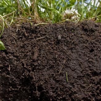
Soil is not an inert growing medium – it is a living and life-giving natural resource. It is teaming with billions of bacteria, fungi, and other microbes that are the foundation of an elegant symbiotic ecosystem.

Soil Education
Learn more about soil science and soil health through educational resources.

Soil Survey Data
Soil Survey Data from the State of Connecticut.

Technical Soil Services
NRCS staff provide technical assistance to land users and others for land use, conservation treatment, and resource management.

Interpretations
Resources for interpreting soil.

Maps and Publications
Interactive maps, dynamic reports, and dynamic links to the soils database, specifically for Connecticut.

Tools
NRCS staff use tools to gain information about the ground and soils.

Contact Us
Contact Information for the CT NRCS Soils Office