News

The .gov means it’s official.
Federal government websites often end in .gov or .mil. Before sharing sensitive information, make sure you’re on a federal government site.
The site is secure.
The https:// ensures that you are connecting to the official website and that any information you provide is encrypted and transmitted securely.
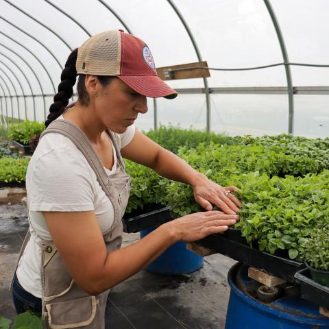
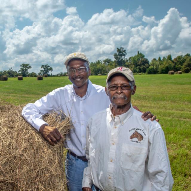
America’s vitality is rooted in the soil. Today, private landowners across the country are partnering with NRCS to conserve and improve soil. Additionally, NRCS is also a leader in soil science, playing a pivotal role in classifying and mapping soils as part of the National Cooperative Soil Survey.
NRCS is also strongly rooted in soil, as the agency was born as the Soil Conservation Service in 1935 during the Dust Bowl, a time of eroded topsoil and fierce dust storms. Since then, conserving and studying soil is at the forefront of what we do. More on NRCS history.
NRCS offers technical and financial assistance to help producers plan and implement conservation practices that prevent soil erosion and degradation and improve soil health.
When soil issues arise, they can have long-term and costly impacts to soil health and production goals. If your land has soil issues, you can explore further with the Conservation Concerns Tool on farmers.gov.
Additional Conservation at Work videos and conservation practice standards are available. If you’re interested in assistance with these practices, contact your local NRCS office.
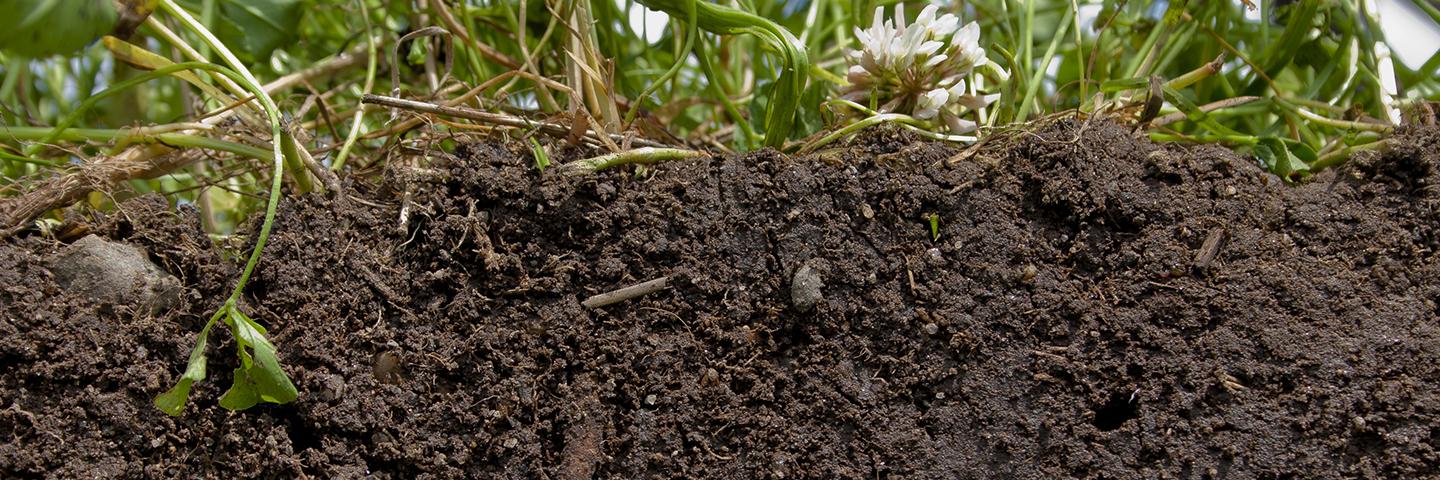
Soil health is defined as the continued capacity of soil to function as a vital living ecosystem that sustains plants, animals, and humans. It's key to productive agriculture.
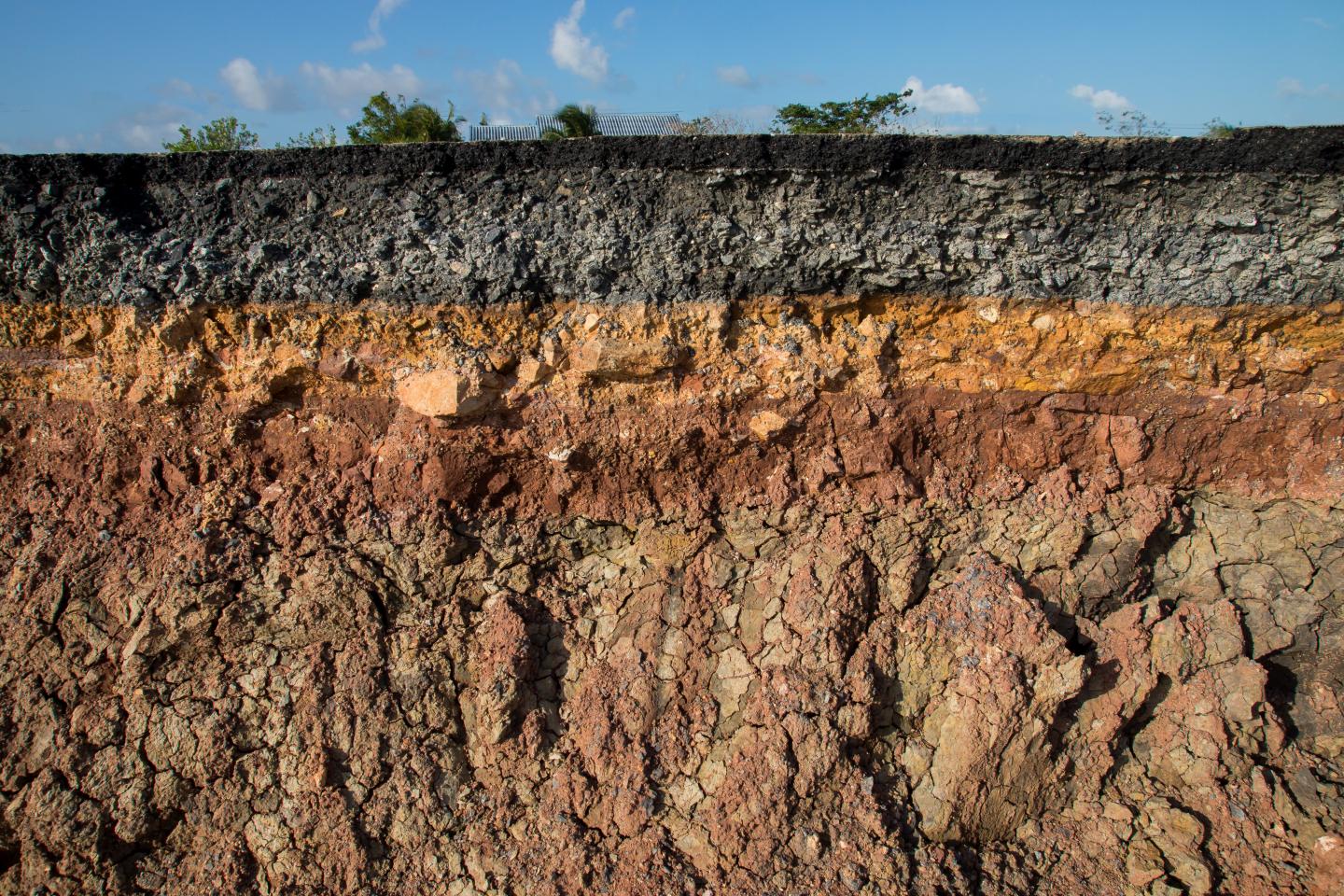
NRCS also supports mapping and classification of the nation's soils, including managing the Web Soil Survey and many other resources.
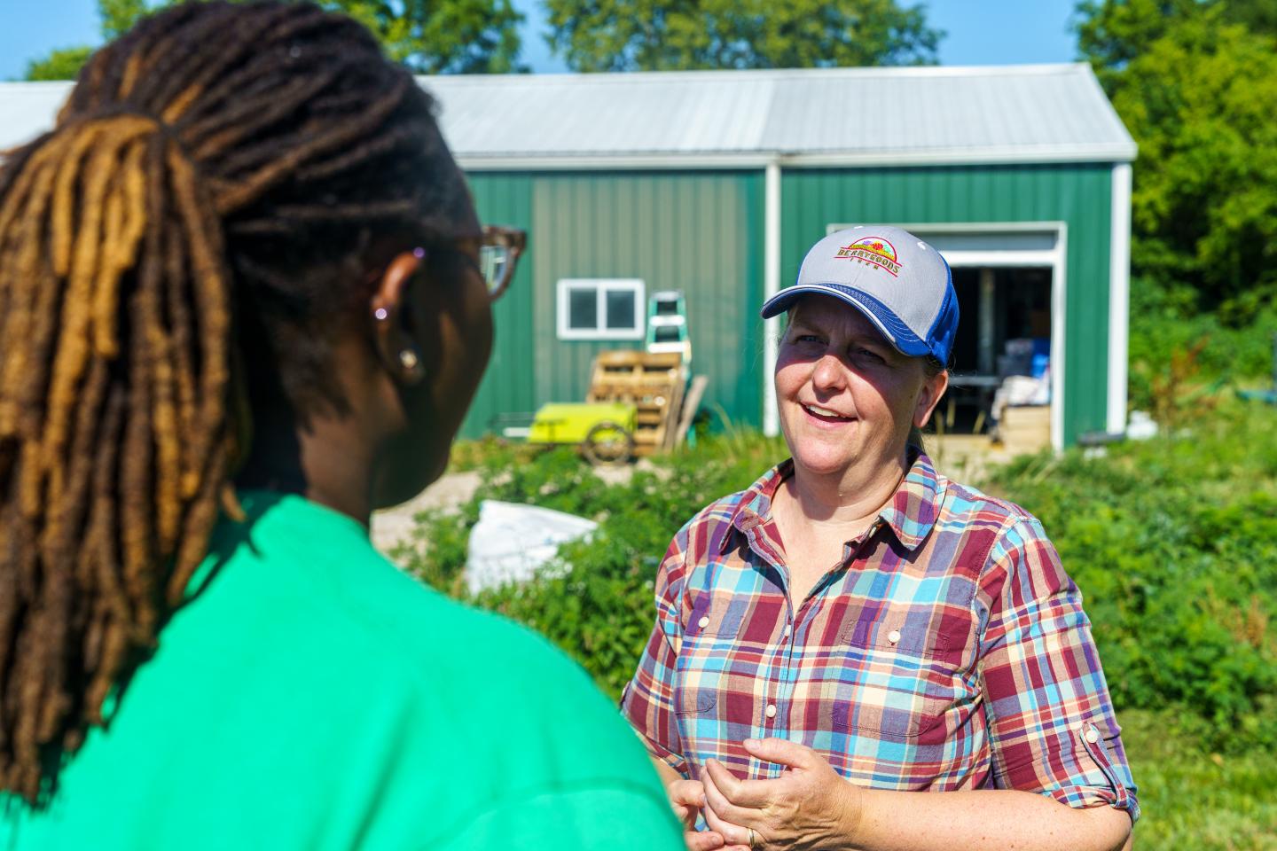
Do you farm or ranch and want to make improvements to the land that you own or lease?
Natural Resources Conservation Service offers technical and financial assistance to help farmers, ranchers and forest landowners.
To get started with NRCS, we recommend you stop by your local NRCS field office. We’ll discuss your vision for your land.
NRCS provides landowners with free technical assistance, or advice, for their land. Common technical assistance includes: resource assessment, practice design and resource monitoring. Your conservation planner will help you determine if financial assistance is right for you.
We’ll walk you through the application process. To get started on applying for financial assistance, we’ll work with you:
Once complete, we’ll work with you on the application, or CPA 1200.
Applications for most programs are accepted on a continuous basis, but they’re considered for funding in different ranking periods. Be sure to ask your local NRCS district conservationist about the deadline for the ranking period to ensure you turn in your application in time.
As part of the application process, we’ll check to see if you are eligible. To do this, you’ll need to bring:
If you don’t have a farm number, you can get one from USDA’s Farm Service Agency. Typically, the local FSA office is located in the same building as the local NRCS office. You only need a farm number if you’re interested in financial assistance.
NRCS will take a look at the applications and rank them according to local resource concerns, the amount of conservation benefits the work will provide and the needs of applicants. View Application Ranking Dates by State.
If you’re selected, you can choose whether to sign the contract for the work to be done.
Once you sign the contract, you’ll be provided standards and specifications for completing the practice or practices, and then you will have a specified amount of time to implement. Once the work is implemented and inspected, you’ll be paid the rate of compensation for the work if it meets NRCS standards and specifications.