
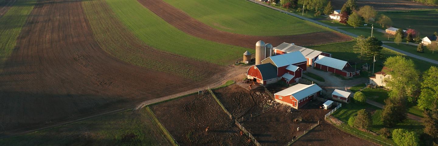

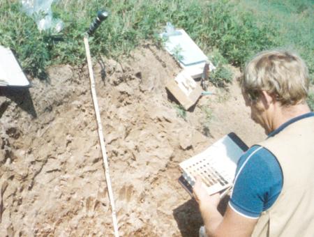
What is a Soil Survey?
A soil survey is the systematic description, classification, and mapping of soils in an area.
History of Wisconsin Soil Survey
The year 2006 marked the completion of the initial field mapping for the National Cooperative Soil Survey in Wisconsin. This publication recognizes the agencies and individuals who have invested time, funding, and manpower in the initial field mapping of the state over the last 100 years or so.
Major Land Resource Area (MLRA)
MLRAs are geographically associated land resource units (LRUs) that share a common land use, elevation and topography, climate, water, soils, and vegetation. Identification of these large areas is important in statewide agricultural planning and has value in interstate, regional, and national planning.
Wisconsin's MLRAs
Wisconsin is divided into four Land Resource Regions (LRR). The North Central Region of the NRCS Soil and Plant Sciences Division, who is responsible for conducting soil survey operations, has five offices covering MLRAs in Wisconsin.
Click on the map below to open the full image file.

Onalaska, WI Office: MLRAs 89 & 105
- Southwest Wisconsin
Aurora, IL Office: MLRA 110
- Southeast Wisconsin
Juneau, WI Office: MLRA 95
- East central Wisconsin
Rhinelander, WI Office: MLRAs 90A, 90B, 93B, 94B, 94D
- Northern Wisconsin
Duluth, MN Office: MLRAs 91, 92 & 90A
- Northwest Wisconsin