

Water...
It is the lifeblood of the West, the crucial commodity. The development of civilization from thousands of years ago to today has been tied to the availability of water.
Water in the West
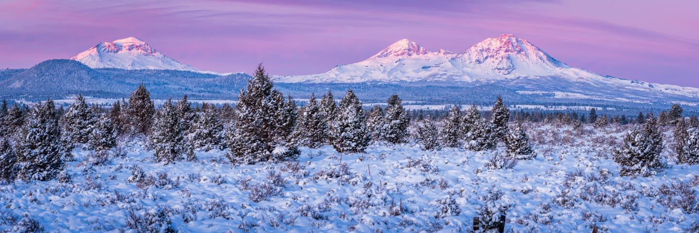
Water conservation is critical to the West. The 19th century explorer and geologist, John Wesley Powell, realized that the development of a productive society out West would require supplemental water supply that did not come from groundwater. This was addressed beginning in the later part of the 19th century when a complex network of dams was constructed to capture runoff from snowmelt. The management of water resources out West drove expansion and inspired countries around the world to follow suit. Today, communities and industry rely on an annual influx of water provided by snowpack, so much so that 50-70% of water supply in the West comes from the melting of snowpack in the mountains. Since weather and climate can be highly variable from season to season and year to year, monitoring mountain snowpack is absolutely vital to managing water resources.
In 1935, the Natural Resources Conservation Service (NRCS) established a formal, cooperative Snow Survey and Water Supply Forecasting (SSWSF) Program to conduct snow surveys and develop reliable water forecasts for the western U.S. The Snow Survey serves a critical role in collecting hydroclimatic data that provide information critical to water management, agriculture, dam operations, recreation and business.
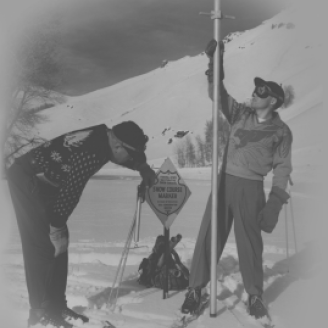
Historically, the Snow Survey performed entirely manual measurements of snowpack along a series of remote, high-elevation snow courses. Today, manual snow course measurements supplement a vast network of Snow Telemetry (SNOTEL) stations including the scaled-down SNOLITE stations. The network includes over 850 automated SNOTEL sites and nearly 50 automated SNOLITE sites that remotely collect data via satellite telemetry in the West.
A Brief History
1906
Studying Mountain Snowpack
The first consistent snow survey on Mt. Rose by, Dr. James E. Church was one of the early pioneers who started to successfully study mountain snowpack.
1939
SCS SNOW SURVEY
The first federal cooperative Snow Survey was formed within the Soil Conservation Service, now known as the Natural Resources Conservation Service.
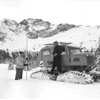
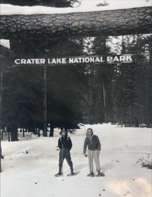
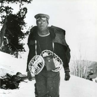
1948
OPERATION SNO-CAT CASCADE
A 22-day journey across 573 miles of the Cascades measuring snowpack at 23 high-elevation snow courses. The trek made the cover of The National Geographic magazine.

1970
AUTOMATION
During the 1970s, with the advent of new radio technology, SNOTEL site were becoming automated and no longer required the continuous manual retrieval of data.
The NRCS Snow Survey continues to grow the largest snow monitoring networking in the world. New emergent technologies being developed for and tested by the Snow Survey continue the mission to measure snowpack and forecast the supply of the West's most important commodity, water.
Contact Oregon Snow Survey
Have questions about the Snow Survey and Water Supply Foresting Program? Contact us by clicking the header above.