


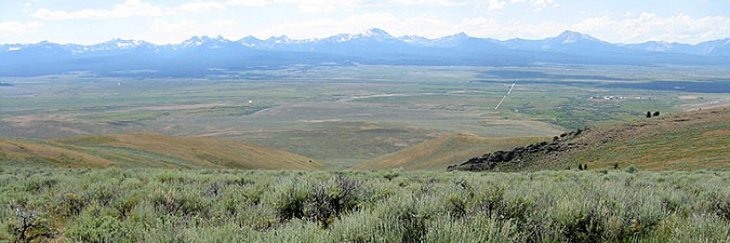
Beaverhead County, population 9,360, contains portions of nine mountain ranges. The Pioneer and Anaconda ranges in the north, the Centennial and Tendoy Mountains in the southwest, the Blacktail, Ruby, Snowcrest and Gravelly Ranges in the southeast, and the Beaverhead Mountains in the west and southwest. Major Rivers include the Big Hole, the Beaverhead and the Red Rock. Land ownership is roughly 68 percent public, most of which is Forest Service or Bureau of Land Management, and 31 percent private.
There is a very limited amount of cropland in the county. The primary land use for tilled acreage is pasture or hayland, with some dryland grain and irrigated potato acreages. Subirrigated meadows are used for wintering cattle and for early spring grazing. The NRCS office, located in Dillon, offers voluntary technical and financial assistance to private landowners interested in natural resource conservation based on a focused approach using long range planning with local input.
Current Financial Assistance Opportunities for Beaverhead County Landowners
- Sagebrush and Grassland Ecosystem TIP
- Wisdom Reach Stock-Water Development Targeted Implementation Plan (TIP)
- Montana Grassland Restoration TIP
In addition to these local projects, producers may also apply for statewide programs such as the Conservation Stewardship Program, national Environmental Quality Incentives Program initiatives, and conservation easement programs. For more information on these and other programs, see State Programs and Initiatives on the NRCS Montana webpage.
Additional Information
Beaverhead County Local Working Group Meeting
The Beaverhead Conservation District is hosting a meeting to gather input from local stakeholders to help prioritize natural resource concerns and guide NRCS funding opportunities.
Montana Focused Conservation
In Montana, NRCS uses a “Focused Conservation” strategy to guide its EQIP investments. Montana Focused Conservation begins with goals identified in local-level Long Range Plans. Based on those plans, NRCS develops Targeted Implementation Plans (TIPs) to guide on-the-ground implementation.
Learn MoreWhat's Available in My Montana County?
Current local financial assistance opportunities in Montana, listed by county. In addition to the local opportunities, producers may also apply for statewide and national programs.
Learn MoreMontana Programs and Application Dates
Program applications are accepted on a continual basis, however, NRCS establishes application dates for evaluation, ranking and approval of eligible applications. Applications received after the date will be automatically deferred to the next funding period.
Learn More