

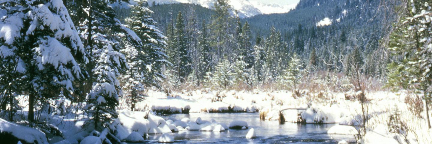
Winter Storms Improve Snowpack Conditions Across Most of Montana
The February 2025 water supply outlook report is now available. Learn more about snow water equivalent measurements and water supply forecasting in this month's news release based on Montana snow survey data collected through the SNOTEL system.
“Following a relatively warm and dry start to the snow accumulation season across most of Montana, the weather took a timely turn during the last week of December. Since then, much of Montana has received significant snowfall, however gains were not equivalent across the state,” said Eric Larson, USDA Natural Resources Conservation Service (NRCS) Hydrologist. Northwest Montana was an exception, receiving near normal precipitation mid-October through early December. Aside from several storms early in January, last month was relatively dry in that area. The region extending from the Sun-Teton-Marias to the Kootenai only received 30-50% of normal January precipitation. In contrast, central Montana and the Bighorn Mountains were impacted much more by recent weather receiving over 190% of normal January precipitation. Southwest Montana and southcentral Montana received about 80-110% of normal January precipitation, with some higher elevation SNOTEL sites receiving slightly more than that. The snowpack is making gains during the first week of February across all of Montana as active weather continues to impact the region.
As of Feb. 7, 2025, the mountain snowpack across most of Montana remains slightly below normal at around 80-90% of median, but there are exceptions. The Smith-Judith-Musselshell basin is reporting a 120% of normal snowpack with most of that snow arriving since the last week in December. Several SNOTEL sites in the Little Belt and Big Snowy mountains received their largest January snow accumulation in 20 years. In contrast, the Sun-Teton-Marias and St. Mary currently have a 65-75% of normal snowpack. Snow water equivalent deficits in that region are 2-7 inches; however, that could be recovered in a couple upslope storms aimed in the correct direction. Snowpack percentages in the Gallatin, Bighorn, and Tongue River basins are currently about 100% of normal and additional snow is forecasted over the next couple days. All other basins are reporting a snowpack about 80-90% of normal, except the Bears Paw near Havre. “Don’t forget, last year was one of the lowest snow years on record. While recent snow conditions have been excellent for recreating, lack of early season snowfall left most of Montana with a deficit. Most mountain ranges are still recovering from that deficit,” said Larson.
Two to three months remain in the normal snow accumulation season and deficits that exist in many locations could be eliminated by several weeks of active weather. “Given the major weather pattern change experienced over the last month and half, the outlook that snowpack conditions will continue to improve throughout the next month is good. However, if drier weather returns during February, part of Montana might be left with mountain snowpack deficits that will be difficult to overcome as spring approaches. The Rocky Mountain Front is one of those regions,” said Larson. During a typical year, 60-70% of the seasonal snowpack has accumulated by February 1. March 1 conditions will give a better indication of what spring runoff might bring.
A full report of conditions on February 1 can be found in the monthly Water Supply Outlook Report available on the Montana Snow Survey website. In addition, real-time snow survey data can be found at nrcs.usda.gov/montana/snow-survey.

B-roll and still images of the Montana NRCS Snow Survey Team are now available.