
New “Bobscapes” Mobile App Helps Establish National Bobwhite Database

New “Bobscapes” Mobile App Helps Establish National Bobwhite Database
It’s hard to spot a northern bobwhite quail because of its well-camouflaged coloring. But it has become even harder to spot them in recent years, because their populations have been declining due to habitat loss. The northern bobwhite quail population has decreased by over 80 percent over the last 30 years, mostly due to changes in land use and management where they live. Agriculture has been a major driver in this land use change, but agriculture can also be a driver in restoring these habitats and bobwhite populations.
Bobwhites are heard more often than seen and depend on early successional habitat grasslands like weedy areas, grassland, old fields, shrubby thickets, and young forests, and pine or oak savannas in the central and eastern parts of the United States. These habitats have the food sources that bobwhite need and the heavy or brushy cover for nesting, brooding and safety.
Although the bobwhite is one of the most researched birds in the country and perhaps the world, scientists still don’t have a solid understanding of the quail’s population distribution across its range. To help alleviate this problem, NRCS has been working with Quail Forever and the University of Georgia Gamebird and Managed Ecosystems Lab as part of the Working Lands for Wildlife – Northern Bobwhite Quail Partnership to develop a new mobile app called Bobscapes.
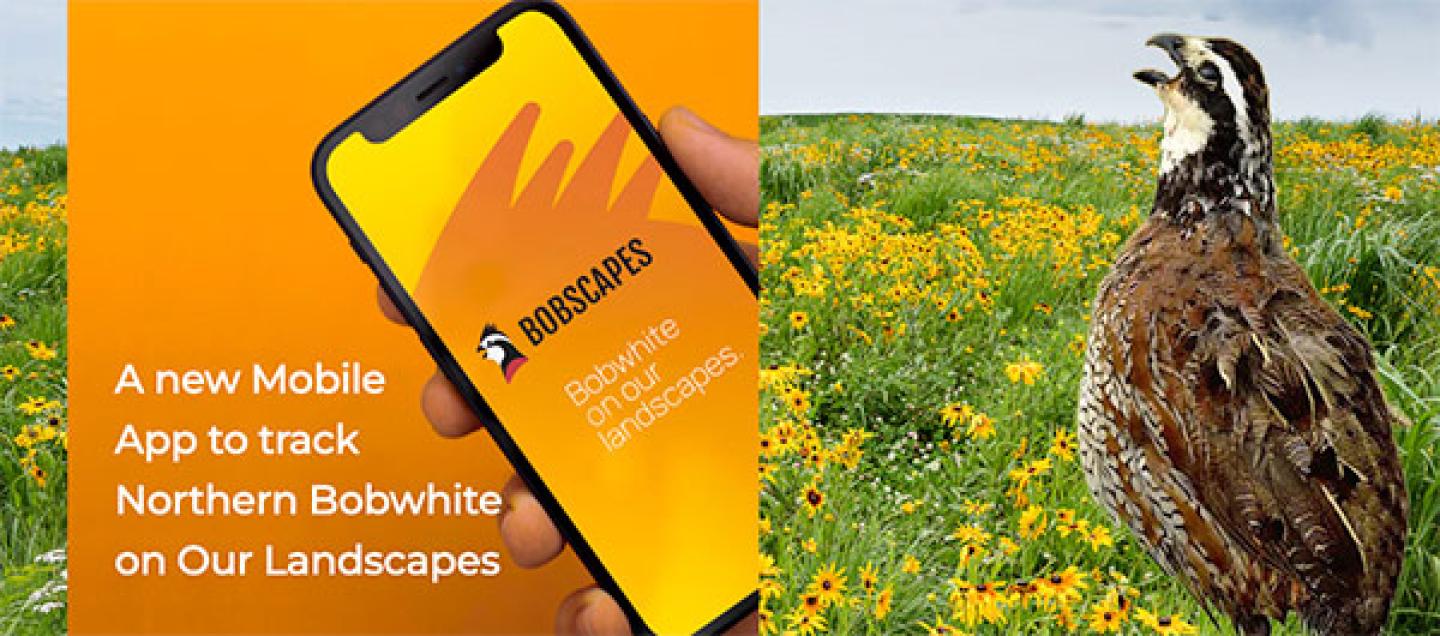
Bobscapes enlists the help of citizens to track bobwhite populations and collect the data that scientists need to better manage habitat for the bobwhite and other grassland species nationally. The app not only helps record the location of bobwhite populations, but also helps connect land managers with voluntary conservation assistance and helps direct management resources for bobwhite habitat.
Here’s how the user-friendly app functions:
- Documentation: Landowners or public land users submit a Bobscapes mobile app survey for any bobwhite sighting or fall covey call heard in the field as birds gather after the mating season.
- Outreach: Private landowners have the option of including their contact information for follow-up conservation assistance from one of 235 professional Quail Forever biologists, NRCS staff, or state wildlife agency staff, depending on geography.
- Planning: The surveys will generate a confidential* distribution map of bobwhite quail in the central and eastern regions of the United States for researchers to target habitat resources for future northern bobwhite population growth.
*Map coordinates for coveys, broods, or quail calls are only shared with a select group of biologists for consideration of future habitat work.
NRCS Conservation Efforts
To help reverse bobwhite declines, NRCS is working with private landowners to manage high-quality grassland and pine/oak savanna habitat. Through the Working Lands for Wildlife (WLFW) partnership, NRCS has developed a multi-state, areawide planning initiative in the working lands within the 25-states of the northern bobwhite, Northern Bobwhite, Grasslands, and Savannas: A Framework for Conservation Action.
Learn more about NRCS’ wildlife conservation efforts. To get started with NRCS, visit your local USDA Service Center.