U.S. flag

An official website of the United States government

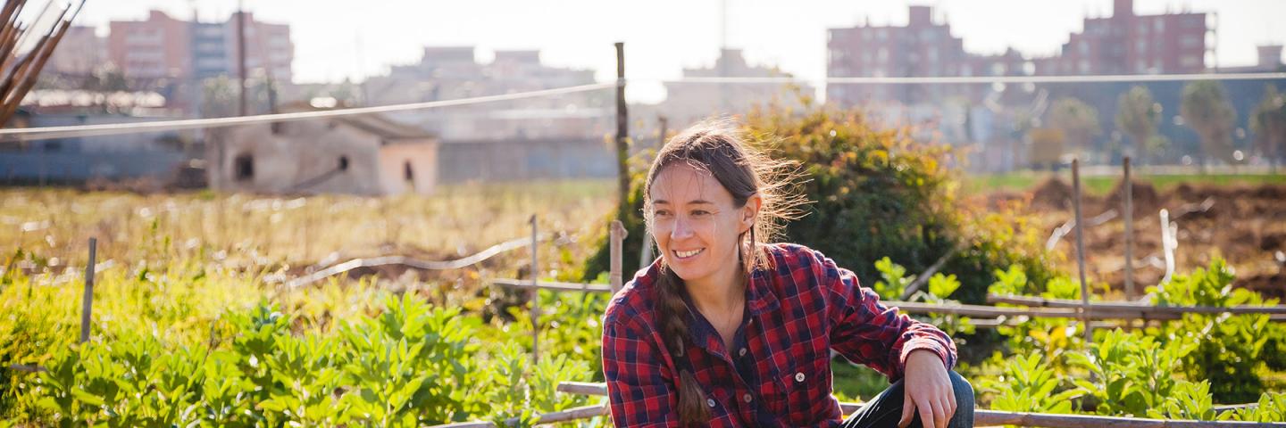
Woman in an urban garden.

Urban Soils

According to the 2010 U.S. Census, 81 percent of the nation’s population lives in urban areas. This fact alone is enough to justify the need to identify, describe, and map urban soils to modern standards.

Sign up for email updates on Urban Soils

For most urban areas, the current soil information is incomplete, outdated, or nonexistent. Even in the areas where urban development has expanded into previously mapped areas, the information is deficient. The soils in these areas have been so modified that the maps no longer provide correct information.

Soil characterization information is needed in urban areas because the natural resources are used intensively and provide valuable ecosystem services. Detailed, modern information on soils can help city planners determine the best land uses and management practices. This information can directly serve the public and strongly impact human health and quality of life. Collaborative, goal-oriented mapping projects and technical soil services not only address the soil data needs of urban planners, engineers, and community groups, they also confront emerging issues, such as climate change, coastal resiliency, estuary restoration, small- and large-scale watershed planning, and environmental literacy.

Baseline urban soil survey data can guide the management of the major urban centers and suburban areas where most of us dwell, serving to direct the best use of open space and the optimal delivery of soil ecosystem services.
 

Soil Science and Urban Soil Survey

We provide nationwide leadership in soil science to meet the needs of urban customers. We define urban as populated areas of various sizes.

Urban soils are found in watersheds that provide drinking water, food, waste utilization, and natural resources to communities. Urban soils also are located within cities in park areas, recreation areas, community gardens, green belts, lawns, septic absorption fields, sediment basins and other uses.

Urban soil survey is a broad area that can be divided into 6 topics. Each of the following will be discussed in detail to illustrate the state-of-the-art in urban programs.

Phosphorus in Watersheds

The urban watershed balance involves sources and sinks that are not always evident in urban areas. The dynamics of phosphorus (P) additions, or sources, include management decisions within the densely populated area and in outlying areas of different landuses that drain through urban areas. These sources of excess “P” can cause problems when they outweigh the sinks for “P” in the same watershed. Urban soil studies to measure and monitor transformations of phosphorus are needed. Urban sources, urban sinks, non-urban sources, and non-urban sinks all contribute to the balance, and all must be included in planning at the watershed level for long-term urban sustainability.

A working knowledge of soil physics, chemistry, and biology is needed for management of phosphorus transformation in urban watersheds. A detailed scientific understanding of the processes and interactions involving phosphorus helps to clarify the limitations of the estimates of phosphorus transport and adsorption. Urban soil survey can guide users in defining needed soil information, measuring soil properties, and estimating the behavior of different soils in a watershed for phosphorus management.

An ongoing debate concerns the choice of on-site versus landscape models for urban surveys to deal with phosphorus and other issues. The next section considers some recent developments in soil survey that can facilitate links between traditional soil survey and the need for more intensive surveys for high-risk urban areas. A series of intensive surveys across a watershed provides data on soil processes, but the landscape model of traditional surveys provides the linkages and pathways for water and phosphorus flow that lead to understanding of long-term sustainability for the ecosystem in the watershed.
 

Urban Soil Mapping and Inventory

The National Cooperative Soil Survey program relies on a centralized database that holds a standard set of soil properties as data elements and that accesses the soil information through queries with common formats. The National Soil Information System (NASIS) will build on an urban database and maverick tables created during recent urban surveys such as LaTourette Park on Staten Island, New York. The soil properties chosen for the urban database depend on the landuse and intensity of use planned by customers in urban areas. When soil properties are gathered that are not yet used in surveys nationwide, the tables interpreting the suitability of those soils for new uses may be called maverick tables while they are still generated manually from a database external to NASIS. The goal is to complete the initial testing of these interpretations quickly and to fully document the soil behavior under those uses so that maverick tables become interpretations generated through NASIS. It is important, though, not to stifle the thinking or to limit the initial exploration of soil behavior while waiting to become fully NASIS compatible. It is just as important to integrate urban interpretations into the mainstream of soil survey.

An example of the urban survey is the prototype for LaTourette Park on Staten Island, New York. The evaluation of heavy metals in soils appears alongside traditional interpretations for playgrounds and picnic areas. Updated graphics and the selection of manuscript text of greatest interest to a very specific non-farm customer are new to soil survey. There are a few policy documents and special studies that, though not specific to urban soils, apply to urban soils as small areas or areas of special use.

Updated mapping procedures for small areas are found in a USDA-NRCS Technology Policy Paper that was sent to State Conservationists on July 24, 1997. The letter provides a link between riparian areas and urban areas for soil survey methodology.

The recent publication on Cranberry Soil Maps (by Jim Turenne) is an example of landscape links to small areas of special use. The ground-penetrating radar can be used in urban areas in similar ways, and the format of the publication itself gives ideas on presentation and marketing of urban soil surveys for specific customers.

The attempt to establish a common vocabulary for unconventional soil features found in urban soil survey will benefit from a soil classification system compatible with soil taxonomy. A circular letter recently requested comments on urban taxonomy for consideration by the International Committee on Anthropogenic Soils (ICOMANTH). The notice dated August of 1997 mentioned over 11 categories of changes in soils due to human activities, including many found in urban areas or done for urban purposes:

  • dredge materials
  • accelerated erosion
  • land filling
  • land leveling
  • surface removal
  • contamination
  • sedimentation
  • windblown deep plowing/logging
  • severe compaction by machinery
  • artificial saturation

The urban soils community can and should contribute to the work of ICOMANTH because urban soils are found worldwide and are an area of great concern for world food supply and sustainable drinking water supply, as well as aesthetics and recreation.
 

Research in Urban Soils

Research and development is a critical part of any soil interpretation. The mechanistic soil processes for a foundation for recognizing changes in those processes as soil behavior changes. Inputs to the soil system greatly influence the dynamics of soil processes at a very detailed level and many interactions occur that are difficult to measure. Four major areas of research for interpretations in urban soils are 1) heavy metal toxicity, 2) landscape, hydrology, and related transport of sediment & chemicals, 3) biological transformations of waste/new boundaries, and 4) infiltration linked to heavy use and management.

A systems approach to these research areas is the focus of ecosystem studies, although urban customers often hold deep concerns for specific soil behaviors (lead toxicity, dust inhalation, mud transfer) that are seen as the controlling the whole system. The challenge is to address customer's specific concerns while setting those concerns in the timeframe and the larger context of the ecosystem. Monitoring projects for soils, such as those for streams or water quality, need a base of scientific method so that urban customers can tell when and how they have answered their own questions. The management choices become evident more quickly when the balance of inputs and outputs, sources and sinks, stresses and responses becomes clear to decision-makers.

The goal of scientific research is to recognize an observed problem, to form ideas about causes of the problem, to design and implement a project with specific measurements and observations concerning the problem and suspected causes, and to use the information gathered to revisit the original problem and to test the ideas. Problem-solving with a base in research leads customers to solutions with minimal risk and optimal levels of increased understanding of soil and its role in ecosystem changes.
 

Urban Conservation Programs

The urban conservation program is marked by its core of changing customers and the mix of agencies and skill-levels involved in planning and implementing urban projects. It is not unusual to find both public NCSS cooperators, and private soil consultants working at the request of a community non-profit group such as a conservation district. The concepts of social good and stewardship of the land blend with nutritional concerns and recreational needs to intensify the variety of landuses co-existing on an urban parcel. The risk levels for unsuitable choices for land use mean higher economic cost in urban areas, necessitating a more specific and risk-sensitive method of comparing soils within a given site.

The soil survey manuscripts produced for traditional scales of soil survey are undergoing changes in the direction of the needs for urban surveys, such as updating the sample descriptions for interpreting soil suitability for different uses (prewritten manuscript material), adapting the three-rating system (slight, moderate, severe) to use fuzzy logic in a continuous rating of likelihood of suitability from 0.0-1.0, and addressing the need for new interpretations to fit modern types of recreation. Traditional concerns such as the degree of soil limitation, passive recreation, heavy foot traffic, vehicles, flooding, and avoidance of boulders and dust remain and are joined by concerns with more difficult research areas such as heavy metal toxicity and contamination plumes.

Limitations to successful local programs in urban soils include funding, experienced people, scientific knowledge, and customer input. Six projects were started in 1996-97 to demonstrate the potential of urban soils programs when funding was removed as a barrier. Funds were obtained through the USDA-NRCS-Community and Rural Development Division (CARDD) and cooperative agreements were written for the development of prototype urban soils products. The projects and locations varied but shared common formats of futuristic planning, contracts with external customers to help them lead by example, and as prototypes for USDA-NRCS agency direction.

Project Topics

  • Mississippi Soil depth to clay for urban hydrologic planning
  • Colorado Survey feasibility for metropolitan Denver
  • New York Heavy Metal Toxicity in soils
  • Arizona Marketing/Products for non-scientists
  • Massachusetts New Age Packaging of Soil Information
  • New Mexico Soils Technology Transfer Products
     

Technology Transfer

Technology transfer in urban soils occurs on two levels:

  • attaining proficiency in the NASIS system for use of the national soil survey database
  • transferring the scientific knowledge of soil processes and the observations of soil behavior to the general public in a format that makes sense to them

Training in the NASIS interpretations generator module is available through soil survey offices in each state, targeting USDA-NRCS soil scientists and their counterparts in other disciplines. This training includes:

  • setting fuzzy logic risk gradients,
  • recommending and populating new soil data elements, and
  • the crucial documenting of the replaceable scientific basis for estimating soil behavior.

Transferring the scientific knowledge and memory bank of observed soil behavior requires a network with NRCS institutes, NGO programs, and with customers who represent state and local priorities for urban soil use and management. Urban soil survey joins traditional soil surveys in needing to recognize low-input, sustainable, organic, labor-intensive, profitable, nutritious, and decorative options for landuse.
 

Multicultural Context

Urban soils are part of the global soil system as much as are soils under any other landuse. The customer base, however, for urban soil survey and interpretations is in pluralistic urban areas with ethnic variety that complicates the identification of stakeholders, technology transfer to customers of widely differing educational and skill levels, and project timetables that are dependent on multilevel funding networks. These issues are found worldwide, and the need for urban soil information is just as widespread.

Global applications for urban USA programs are evident in seven focus areas:

  • farmland loss,
  • waste disposal,
  • food quality and quantity,
  • reclaiming marginal lands,
  • needs for renewal in wilderness or parks,
  • water supply/flood control, and
  • air quality & dust control.

Urban soil information will help to estimate the response of urban soils to human-induced and natural stresses in many types of environments.

Randy Riddle

Senior Soil Scientist for Urban Soil Survey; Ventura County, CA

Additional Information