
Explore resources related to basin-wide conditions and inflow forecasts for the Great Salt Lake watershed.
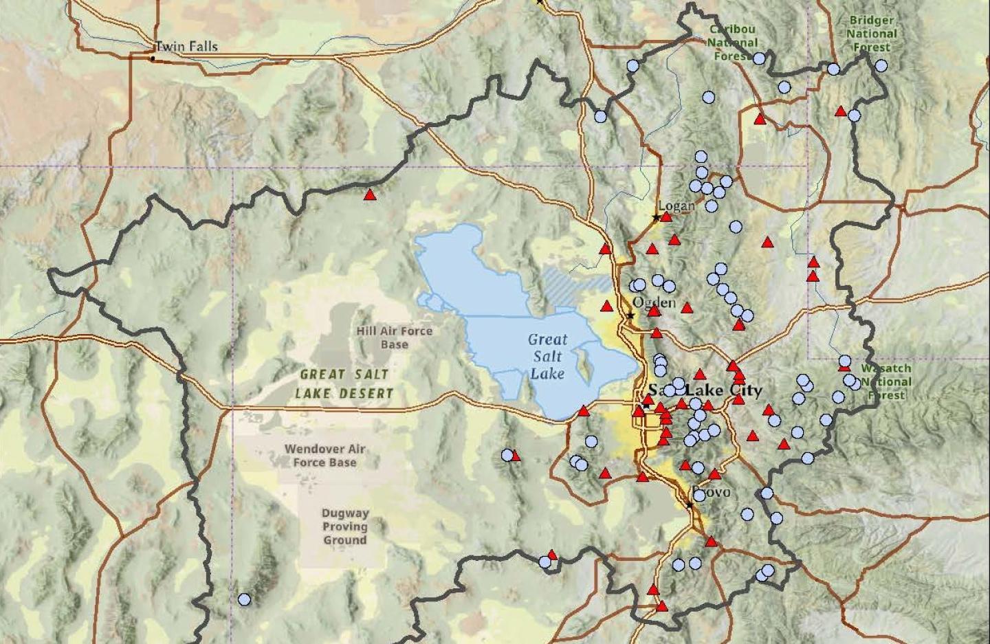
Great Salt Lake Basin
These data represent SNOTEL station data in the headwater areas that drain into the Great Salt Lake
NWCC Forecast Chart
Contributing basin inflow forecast exceedance probabilities for the Great Salt Lake.
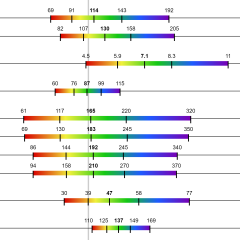
GSL Basin Snow Water Equivalent
Period of record snow water equivalent values at contributing SNOTEL stations.
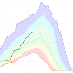
GSL Basin Precipitation
Period of record accumulated precipitation values at contributing SNOTEL stations.
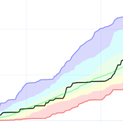
GSL Basin Average Temperature
Period of record daily average air temperature values at contributing SNOTEL stations.
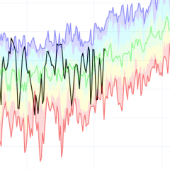
GSL Basin Soil Moisture
Period of record soil moisture values at contributing SNOTEL stations.
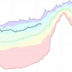
Inflow Stats: NWCC iMap
Interactive map with observed streamflow discharge at inlet of the Great Salt Lake.
Inflow Stats: Chart
Report Generator for monthly Great Salt Lake inflow.
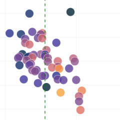
Snowpack Percent Normal by Elevation
Scatter plot comparing snow water equivalent, elevation, and density.
USGS Hydromapper
Utah Water Science Center's page on the Great Salt Lake
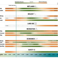
Utah State GSL page
Utah state's page on the Great Salt Lake

