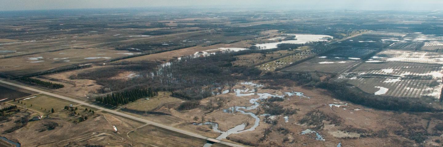
North Dakota NRCS is in the process of developing a Rapid Watershed Assessments (RWA) for each of the states 8-digit Hydrologic Unit Code (HUC-8) sub-basins.
RWAs provide an overview of each HUCs current natural resource condition and concerns. Each RWA organizes the resource information into a document that local conservationists, units of government, watershed groups, and others can use to identify conservation opportunities, set priorities, and determine the best actions to achieve their goals. Each assessment provides a description of the sub basins natural resources, resource concerns, and conservation needs. RWAs typically contain the following information:
- Physical Resources
- Land Use and Land Cover
- Water Quality Conditions Report
- Soil, Stream, Precipitation Data
- Resource Concerns
- Census and Social Data
Most of the data for the RWAs is collected through NRCS National Resources Inventories, Census of Agriculture, North Dakota state agencies, including North Dakota Department of Health, and several Geographic Information System (GIS) map layers provided by several state and federal agencies.
Many of the sub-basins are within the boundary of North Dakota, but several sub-basins are shared with the states of Minnesota, Montana, South Dakota, and Wyoming and also Canada. Over the next several years, RWAs will be completed for each of these sub-basins. The following map identifies the sub-basins within North Dakota to be completed in Fiscal Year 2008.

The following table shows the watersheds completed for 2006/07/08 and links to the RWA.
Each RWA document requires Adobe Reader.
HUC Sub-basins
09020307
Watershed Name
Turtle
Date Published
Pending

