

Press Release
Official websites use .gov
A .gov website belongs to an official government organization in the United States.
Secure .gov websites use HTTPS
A lock (
) or https:// means you’ve safely connected to the .gov website. Share sensitive information only on official, secure websites.

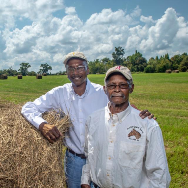
The Mississippi River Basin Healthy Watershed Initiative (MRBI) is accelerating voluntary, on-farm conservation investments and focused water quality monitoring and assessment resources in the Mississippi River watershed.
Known as “America’s River,” the Mississippi River is North America’s largest river, flowing over 2,300 miles through America’s heartland to the Gulf of America. The Mississippi River watershed not only provides drinking water, food, industry and recreation for millions of people, it also hosts the migratory flyway and home for more than 325 bird species.
Elevated nutrient levels in the Mississippi River flow downstream and are contributing to the Gulf of America hypoxic (low-oxygen) zone. To address these water quality concerns and agricultural sources of nutrients and sediment, NRCS is working with farmers and conservation partners to implement conservation practices proven to improve the overall health of the Mississippi River.
Launched in 2009, the 12-state MRBI uses several Farm Bill programs, including the Environmental Quality Incentives Program (EQIP), to help landowners conserve America’s natural resources through voluntary conservation. The overall goals of MRBI are to improve water quality, restore wetlands and enhance wildlife habitat while ensuring economic viability of agricultural lands.
States within the Mississippi River Basin have developed nutrient reduction strategies to minimize the contributions of nitrogen and phosphorus to surface waters within the basin, and ultimately to the Gulf of America. MRBI uses a small watershed approach to support the states’ reduction strategies. Avoiding, controlling and trapping practices are implemented to reduce the amount of nutrients flowing from agricultural land into waterways and to improve the resiliency of working lands.
To date, segments of the Cache River and St. Francis River in Arkansas, and Flowers Creek in Indiana, have been scheduled for de-listing from the state impaired waters lists due to improved water quality conditions.
MRBI has shown that focused water quality efforts in high priority areas can be effective in building strong partnerships, increasing trust and collaboration with landowners and farmers, and getting more conservation systems on the ground. In fact, the initiative has helped increase the adoption of critical water quality conservation practices, such as cover crops, no-till, residue management, grassed waterways and nutrient management by more than 30 percent (based on practice obligations) compared to focus area watersheds with general EQIP alone.
Over the past ten years, MRBI has helped farmers and ranchers:

John Bullough, Conservation Initiatives Coordinator for Water Quality
Learn more about the impact of MRBI through our success stories.
Voluntary conservation efforts focused in small watersheds can yield big results for locally important waters. See how NRCS, landowners, and partners are working together to improve water quality in Illinois.
Learn MoreMeet Iowa's 2015 Soil Conservation Farmer of the Year Award recipient, Tim Smith, one of the many conservation farmers participating in a USDA program designed to reduce nutrient and sediment loading in the Mississippi River Basin.
Learn MoreContact your local service center to start your application.
Do you farm or ranch and want to make improvements to the land that you own or lease?
Natural Resources Conservation Service offers technical and financial assistance to help farmers, ranchers and forest landowners.
To get started with NRCS, we recommend you stop by your local NRCS field office. We’ll discuss your vision for your land.
NRCS provides landowners with free technical assistance, or advice, for their land. Common technical assistance includes: resource assessment, practice design and resource monitoring. Your conservation planner will help you determine if financial assistance is right for you.
We’ll walk you through the application process. To get started on applying for financial assistance, we’ll work with you:
Once complete, we’ll work with you on the application, or CPA 1200.
Applications for most programs are accepted on a continuous basis, but they’re considered for funding in different ranking periods. Be sure to ask your local NRCS district conservationist about the deadline for the ranking period to ensure you turn in your application in time.
As part of the application process, we’ll check to see if you are eligible. To do this, you’ll need to bring:
If you don’t have a farm number, you can get one from USDA’s Farm Service Agency. Typically, the local FSA office is located in the same building as the local NRCS office. You only need a farm number if you’re interested in financial assistance.
NRCS will take a look at the applications and rank them according to local resource concerns, the amount of conservation benefits the work will provide and the needs of applicants. View Application Ranking Dates by State.
If you’re selected, you can choose whether to sign the contract for the work to be done.
Once you sign the contract, you’ll be provided standards and specifications for completing the practice or practices, and then you will have a specified amount of time to implement. Once the work is implemented and inspected, you’ll be paid the rate of compensation for the work if it meets NRCS standards and specifications.

