FY 2025 RI ALE General Ranking Criteria Questions
Section: Applicability Questions
- Did an eligible entity apply for ACEP ALE?
- Yes — Points: 0
- No — Points: 0
Section: Category Questions
- Is the application in the State of Rhode Island?
- Yes — Points: 0
- No — Points: 0
Section: Program Questions
- What percent (acres) of the parcel contains prime farmland soils, soils of statewide or unique agricultural importance, or locally important agricultural land?
- Percentage of prime farmland soils, soils of statewide or unique agricultural importance are 100-76% — Points: 50
- Percentage of prime farmland soils, soils of statewide or unique agricultural importance is less than 76% but more than or equal to 50% — Points: 25
- Percentage of prime farmland soils, soils of statewide or unique agricultural importance are <50% — Points: 10
- What percent of total offered acres are in the following land uses: cropland, pastureland, grassland, or rangeland?
- Percentage of cropland, pastureland, grassland, or rangeland is 100-76% — Points: 50
- Percentage of cropland, pastureland, grassland, or rangeland is less than 76% but more than or equal to 50% — Points: 25
- Percentage of cropland, pastureland, grassland, or rangeland is <50% — Points: 10
- What is the ratio of total acres of eligible land in parcel to average county farm size? [NOTE: Ratio = Offered Farm Size/Average County Farm Size. Average County Farm Size: Bristol=38 acres, Kent=70 acres, Newport=41 acres, Providence=36 acres, Washington=85 acres.]
- Ratio > 2:1 — Points: 5
- Ratio of between 2:1 and 1:1 — Points: 3
- Ratio of <1:1 — Points: 0
- What is the decrease in the percentage of acreage of permanent grassland, pasture and rangeland, other than cropland and woodland pasture in the county in which the parcel is located between the last two USDA Censuses of Agriculture?
- Bristol — Points: 5
- Kent — Points: 0
- Newport — Points: 5
- Providence — Points: 5
- Washington — Points: 5
- Is the land currently enrolled in CRP in a contract that is set to expire within 1 year?
- Yes — Points: 5
- No — Points: 0
- What is the decrease in the percentage of acreage of farmland in the county in which the parcel is located between the last two USDA Censuses of Agriculture (2017-2022) where data is available?
- Bristol — Points: 0
- Kent — Points: 5
- Newport — Points: 10
- Providence — Points: 10
- Washington — Points: 0
- What is the population density (Persons per Square Mile, U.S. Census)?
- Bristol — Points: 5
- Kent — Points: 3
- Newport — Points: 3
- Providence — Points: 5
- Washington — Points: 2
- What is the percent population growth/decrease in the county as documented by the U.S. Census (www.census.gov)?
- Bristol — Points: 0
- Kent — Points: 5
- Newport — Points: 5
- Providence — Points: 5
- Washington — Points: 5
- What is the proximity of the parcel to other protected land, such as military installations; land owned in fee title by the United States or an Indian Tribe, State or local government, or by a nongovernmental organization whose purpose is to protect agricultural use and related conservation values; or land that is already subject to an easement or deed restriction that limits the conversion of the land to nonagricultural use? (Distance measured in a straight line from the closest point on the parcel and the closet point on the nearest protected lands parcel.)
- Protected Parcel is over 400 ac and parcel is adjacent — Points: 20
- Protected Parcel is over 400 ac and parcel is <1 mile — Points: 18
- Protected Parcel is over 400 ac and parcel is 1-2 miles — Points: 0
- Protected Parcel is over 200-400 ac and parcel is adjacent — Points: 14
- Protected Parcel is over200-400 ac and parcel is <1 mile — Points: 12
- Protected Parcel is over 200-400 ac and parcel is 1-2 miles — Points: 0
- Protected Parcel is over 50-200 ac and parcel is adjacent — Points: 8
- Protected Parcel is over 50-200 ac and parcel is <1 mile — Points: 6
- Protected Parcel is over 50-200 ac and parcel is 1-2 miles — Points: 0
- Protected Parcel is <50 ac and parcel is adjacent — Points: 1
- Protected Parcel is <50 ac and parcel is <1 mile — Points: 0
- Protected Parcel is <50 ac and parcel is 1-2 miles — Points: 0
- Will the parcel maximize the protection of contiguous acres devoted to agricultural use?
- Yes — Points: 16
- No — Points: 0
- Is the parcel included within a farm or ranch succession plan or similar plan established to address farm viability for future generations?
- Yes — Points: 5
- No — Points: 0
- What is the proximity of the parcel to other agricultural operations and agricultural infrastructure (Other farms, CSA, Farmer's Markets, or other working farmlands not owned by the ACEP-ALE applicant)? (Proximity measured from a radius extending directly out from parcel for 10 miles.)
- Yes — Points: 5
- No — Points: 0
- What is the parcel's ability to maximize the protection of contiguous or proximal acres devoted to agricultural use?
- Proposed easement area links two non-continuous corridors of agricultural use — Points: 4
- Proposed easement area is a contiguous or proximal expansion of agricultural use area — Points: 3
- Proposed easement area increases an agricultural use area or is an isolated area of agriculture — Points: 2
- Proposed easement area does not increase an agricultural use area — Points: 0
- Is land a grassland of special environmental significance that would benefit from protection under a long-term easement?
- Yes — Points: 15
- No — Points: 0
Resource Questions
- What is the percent of the fair market value of the agricultural land easement that is the eligible entity's own cash resources for payment of easement compensation to the landowner and comes from sources other than the landowner?
- >50 Percent — Points: 25
- 50-25 Percent — Points: 15
- 25-15 percent — Points: 5
- <15 Percent — Points: 0
- What is the eligible entity's performance in managing and enforcing easements? The measure of performance is the percentage of parcels monitored and results reported annually.
- 100-76% of monitoring reports submitted by entity — Points: 15
- Less than 76% but more than or equal to 50% of monitoring reports submitted by entity — Points: 5
- <50% of monitoring reports submitted by entity — Points: 0
- As the parcel currently exists, is it capable of producing a diversity of crops without extensive structural conservation practices?
- The parcel has greater than 75% A slopes according to soils map — Points: 35
- The parcel has greater than 50-75% A slopes according to Soils map — Points: 20
- The parcel has greater than 25-50% A slopes according to Soils map — Points: 5
- The parcel has greater than < 25 % A slopes according to Soils map — Points: 0
- Does the parcel serve as a farm incubator site, community garden, or training site for historically underserved communities?
- Yes — Points: 20
- No — Points: 0
- Is the easement being acquired through a Buy-Protect-Sell and is the future landowner Historically Underserved (HU)?
- Yes — Points: 5
- No — Points: 0
- Is the parcel located in the urban farming layer "RI Urban Ag Areas"? The Census Bureau's urban areas represent densely developed territory and encompass residential, commercial, and other non-residential urban land uses.
- Yes — Points: 20
- No — Points: 0
- Does the landowner have a Current Conservation Plan?
- Yes — Points: 10
- No — Points: 0
- Parcel Acres Currently in Land Based Agricultural Production:
- The parcel is currently in land based crop and/or pasture >75 ac — Points: 25
- The parcel is currently in land based crop and/or pasture 50-75 ac — Points: 15
- The parcel is currently in land based crop and/or pasture 25-50 ac — Points: 10
- The parcel is currently in land based crop and/or pasture 10-25 ac — Points: 5
- The parcel is currently in land based crop and/or pasture < 10 ac — Points: 0
- Is the parcel located within the Rhode Island Source Water Protection High Priority Area?
- Yes — Points: 25
- Otherwise — Points: 0
- Does the parcel border or directly influence environmentally sensitive areas or has important ecological functions and values?
- Yes — Points: 5
- Otherwise — Points: 0
- Is the parcel located within a watershed of a public water supply OR is it in the aquifer recharge area to a public drinking water supply?
- Yes — Points: 10
- Otherwise — Points: 0
- Does the parcel include or intersect with areas identified by the Natural Heritage GIS layer?
- Yes — Points: 5
- Otherwise — Points: 0
Additional Information
Agricultural Conservation Easement Program - Rhode Island
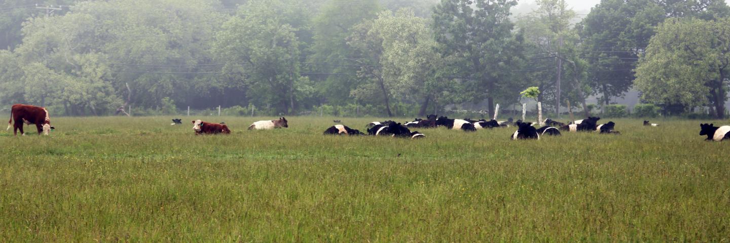
The Agricultural Conservation Easement Program (ACEP) helps landowners, land trusts, tribes, and other entities to protect, restore, and enhance wetlands, grasslands, and working farms and ranches through conservation easements.
Learn MoreAgricultural Land Easements - Rhode Island
NRCS in Rhode Island is accepting applications for ACEP Agricultural Land Easements to help private and tribal landowners, land trusts, state and local governments, and other entities to protect croplands and grasslands on working farms and ranches by limiting non-agricultural uses of the land.
Learn More