
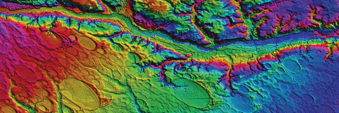
Guidance for using LiDAR
The following document(s) may require Adobe Reader.
Guidance for using LiDAR is found in the NRCS Surveying Technical Note 210-SRVN-01:
LiDAR data for North Dakota is available through the ND Department of Water Resources website: ND LiDAR Dissemination MapService