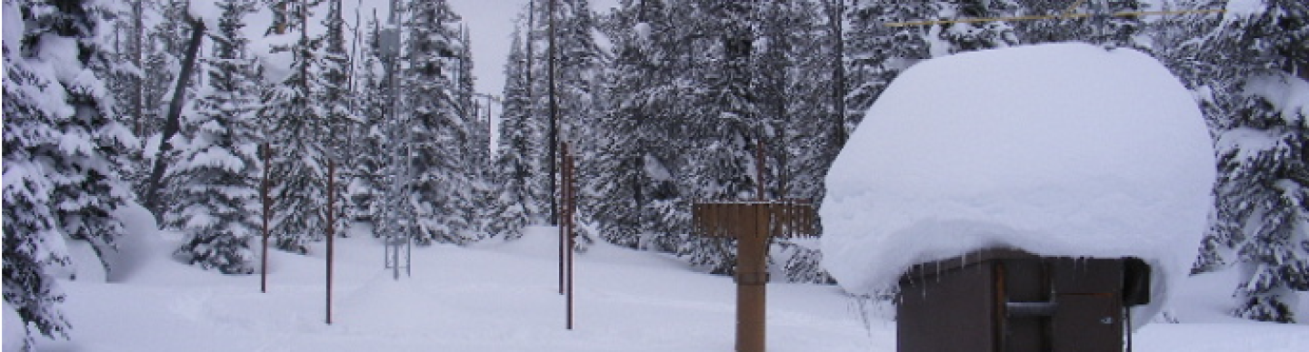
Montana Snow Survey Data Collection Office
About Montana Snow Survey
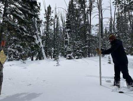
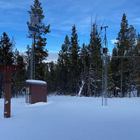
The NRCS Montana Snow Survey Program offers mountain snowpack and precipitation data through manual snowpack measurements (Snow Courses) and the SNOwpack TELemetry (SNOTEL) network to predict snowmelt-driven runoff in the spring and summer. Individuals, organizations, as well as state and federal agencies rely on this information to make decisions related to agricultural production, fish and wildlife management, municipal and industrial water supply, urban development, flood control, recreation, power generation, and water quality management. Learn more about Montana Snow Survey
Current Conditions
Resources for viewing water supply conditions across Montana including to snowpack, precipitation, temperature, streamflow, and more.
Products and Reports
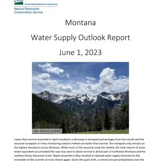
Montana Water Supply Outlook Reports
Monthly reports summarizing current conditions and water supply forecasts. Produced by the Montana Data Collection Office. Available by the 5th business day of each month January through June.
AWS Plots (Air, Water, Soil)
A collection of NRCS National Water and Climate Center (NWCC) products for viewing air, water, and soil conditions across the nation. Current and historic datasets available include snow, precipitation, air temperature, soils, reservoir, and water supply forecasts.
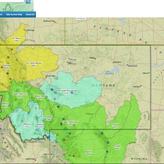
Interactive Map
NRCS National Water and Climate Center (NWCC) interactive map for viewing current and historic conditions. Current and historic datasets available to view include snow, precipitation, air temperature, soils, reservoir, and water supply forecasts.
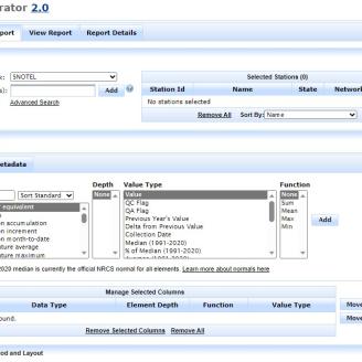
Report Generator
NRCS National Water and Climate Center (NWCC) web application that uses long-term data from a variety of quality-controlled sources to create reports. Current and historic datasets available to view include snow, precipitation, air temperature, soils, reservoir, and water supply forecasts.

Update Report
NRCS National Water and Climate Center (NWCC) daily reports that summarize snowpack or precipitation conditions across a state or region. Summaries include current conditions and median conditions for individual snow survey stations organized by river basin.

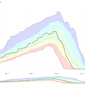
Water Supply Forecast Charts
NRCS National Water and Climate Center (NWCC) charts that display the range of the monthly water supply forecast exceedance probabilities. The charts are available with the water supply forecasts, which in Montana are published around the 5th business day of each month (March-June)
Information & Resources
Contact Snow Survey - Montana
Frequently Asked Snow Survey Questions - Montana
Station Metadata and Information - Montana
National Water and Climate Center
The National Water and Climate Center (NWCC) administers the Snow Survey and Water Supply Forecasting Program (SSWSF) and the Soil Climate Analysis Network, and manages the Water and Climate Information System.
Climatic and Hydrologic Normals
This page reviews the NRCS normals, describes how normals are calculated, and provides access to current and historic normals.