Guides and Instructions
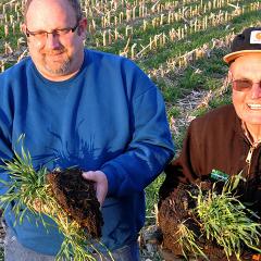
Soil Health, A Montana Perspective - Tools for Soil Health Video Series
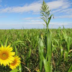
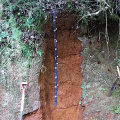
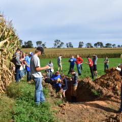
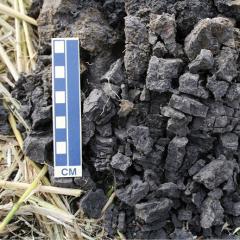
Principles of soil health can be adapted for use in all environments, including those found in Montana. In this video series, Montana farmers and ranchers who have been using these tools to build soil health provide practical information to those interested in the topic.
Topics