Data and Reports
Third Party Vendors in Conservation
This publication provides a historical overview of the relationship between NRCS and private contractors who perform conservation work.

The .gov means it’s official.
Federal government websites often end in .gov or .mil. Before sharing sensitive information, make sure you’re on a federal government site.
The site is secure.
The https:// ensures that you are connecting to the official website and that any information you provide is encrypted and transmitted securely.
This publication provides a historical overview of the relationship between NRCS and private contractors who perform conservation work.
NRCS and the University of Puerto Rico – Mayagüez (RUM) Agricultural Experimental Station (EEA) unveiled the third edition of the Taxonomic Classification of the Soils of Puerto Rico in a ceremony at the University on September 2, 2018.
This document describes the USDA Watershed Program's history, its current state, and the challenges it faces in the future.
Predefined links for a variety of water supply forecast reports.
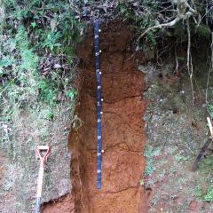
Web Soil Survey (WSS) provides soil data and information produced by the National Cooperative Soil Survey.
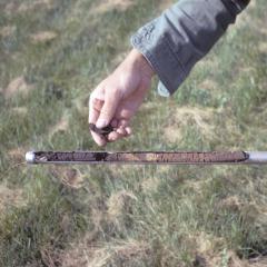
The following links to data are not static; these links pull information and hits from the official soils database live. Interactive maps and dynamic reports are available below.
The NRCS, Montana Association of Land Trusts, and the Heart of the Rockies Initiative have partnered to produce a report of the economic impact of ALE easements in Montana as well as stories from families that have realized economic benefits on their farm or ranch.
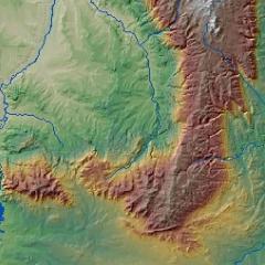
GIS stands for Geographic Information Systems. GIS software automates databases and maps to reveal the spatial patterns of data.
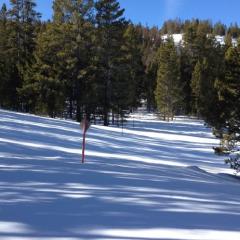
The NRCS Snow Survey Program provides mountain snowpack data and streamflow forecasts for the western United States. Common applications of snow survey products include water supply management, flood control, climate modeling, recreation, and conservation planning.