
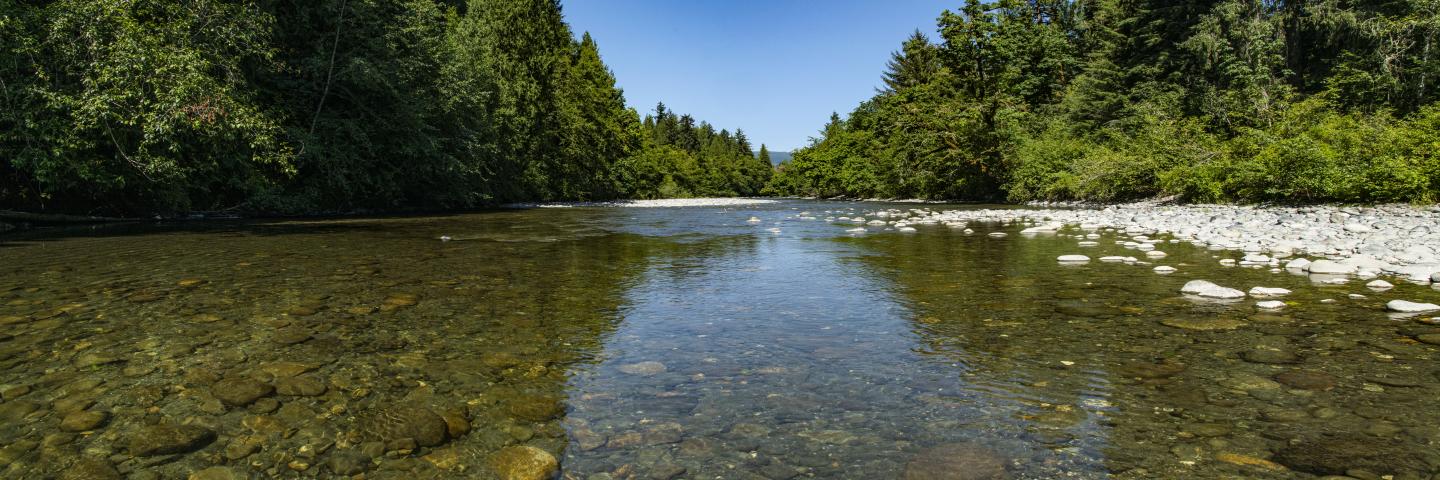
The threat of high salinity in the Colorado River and its tributaries is a major concern in both the Unites States and Mexico.
On This Page
The Colorado River and its tributaries provide municipal and industrial water to about 27 million people and irrigation water to nearly four million acres of land in the United States. The river also serves about 2.3 million people and 500,000 acres in Mexico. The threat of salinity is a major concern in both the Unites States and Mexico. Salinity affects agricultural, municipal, and industrial water users.
The Colorado River Basin Salinity Control Act, established in 1974, provided the authorization for enhancing and protecting numerous salinity control projects in Colorado, Wyoming, Utah and Nevada as well as planning studies in Arizona, California, New Mexico and Wyoming. High levels of salinity in water can reduce crop yields, limit the choice of crops that can be grown, and at higher concentrations over long periods, it can kill trees and make the land unsuitable for agricultural purposes.
Significant salinity control results from the implementation of measures on private agricultural lands. The Bureau of Reclamation's Basin States Program and the U.S. Department of Agriculture's Natural Resources Conservation Service’s Environmental Quality Incentives Program (EQIP) provide cost-share assistance to landowners who install salinity control measures.
Through strong partnerships between NRCS, private landowners, Bureau of Reclamation, Colorado’s State Conservation Board, and numerous local Conservation Districts, financial and technical assistance funds have been used to install irrigation improvements like installation of pipelines, more efficient irrigation systems and lining of ditches and small laterals.
NRCS accepts applications on an ongoing basis.
Application information:
- DIA Ranking
- CO-300 FY-22 EQIP Salinity Implementation Guide
- Attachment A - FY-22 Salinity DIA Workload Prioritization Tool
- Attachment C - EQIP Pre-Obligation Checklist
Colorado River Salinity Control Monitoring Reports
The Colorado River Salinity Control Program monitoring reports are available for the Grand Valley, Lower Gunnison, McElmo, Mancos Valley, Silt, Debeque and Whitewater Salinity Control units in Colorado; Green River, Muddy Creek, Price San Rafael, Uintah Basin, and Manila-Washam Salinity control units in Utah; and the Big Sandy and Henry’s Fork Salinity Control units in Wyoming. The monitoring reports are an annual and cumulative progress summary of the funding, contracts, and practice implementation in each of the approved salinity control areas. Monitoring activities include the effects of project implementation to salt loading in the Colorado River, effects to wildlife habitat, and economic data that identifies the cost effectiveness of the program for agricultural producers and the government.
Ready to get started?
Contact your local service center to start your application.
How to Get Assistance
Do you farm or ranch and want to make improvements to the land that you own or lease?
Natural Resources Conservation Service offers technical and financial assistance to help farmers, ranchers and forest landowners.
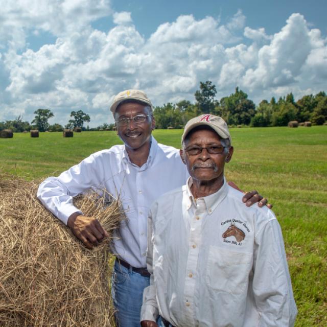
To get started with NRCS, we recommend you stop by your local NRCS field office. We’ll discuss your vision for your land.
NRCS provides landowners with free technical assistance, or advice, for their land. Common technical assistance includes: resource assessment, practice design and resource monitoring. Your conservation planner will help you determine if financial assistance is right for you.
We’ll walk you through the application process. To get started on applying for financial assistance, we’ll work with you:
- To fill out an AD 1026, which ensures a conservation plan is in place before lands with highly erodible soils are farmed. It also ensures that identified wetland areas are protected.
- To meet other eligibility certifications.
Once complete, we’ll work with you on the application, or CPA 1200.
Applications for most programs are accepted on a continuous basis, but they’re considered for funding in different ranking periods. Be sure to ask your local NRCS district conservationist about the deadline for the ranking period to ensure you turn in your application in time.
As part of the application process, we’ll check to see if you are eligible. To do this, you’ll need to bring:
- An official tax ID (Social Security number or an employer ID)
- A property deed or lease agreement to show you have control of the property; and
- A farm number.
If you don’t have a farm number, you can get one from USDA’s Farm Service Agency. Typically, the local FSA office is located in the same building as the local NRCS office. You only need a farm number if you’re interested in financial assistance.
NRCS will take a look at the applications and rank them according to local resource concerns, the amount of conservation benefits the work will provide and the needs of applicants. View Application Ranking Dates by State.
If you’re selected, you can choose whether to sign the contract for the work to be done.
Once you sign the contract, you’ll be provided standards and specifications for completing the practice or practices, and then you will have a specified amount of time to implement. Once the work is implemented and inspected, you’ll be paid the rate of compensation for the work if it meets NRCS standards and specifications.