
Statewide Interpretations and Soil Property Maps
The North Dakota NRCS Soils Staff developed statewide interpretation and soil property and quality maps using the official tabular data available on Web Soil Survey and gridded SSURGO (gSSURGO) spatial data.
These 1:2,500,000 scale data provide a statewide view of soil survey interpretation ratings and a weighted average for soil properties and qualities within the following depth ranges: 0 to 5 cm, 5 to 10 cm, 10 to 25 cm, 25 to 50 cm, 50 to 100 cm, 100 to 150 cm, and 0 to 150 cm.
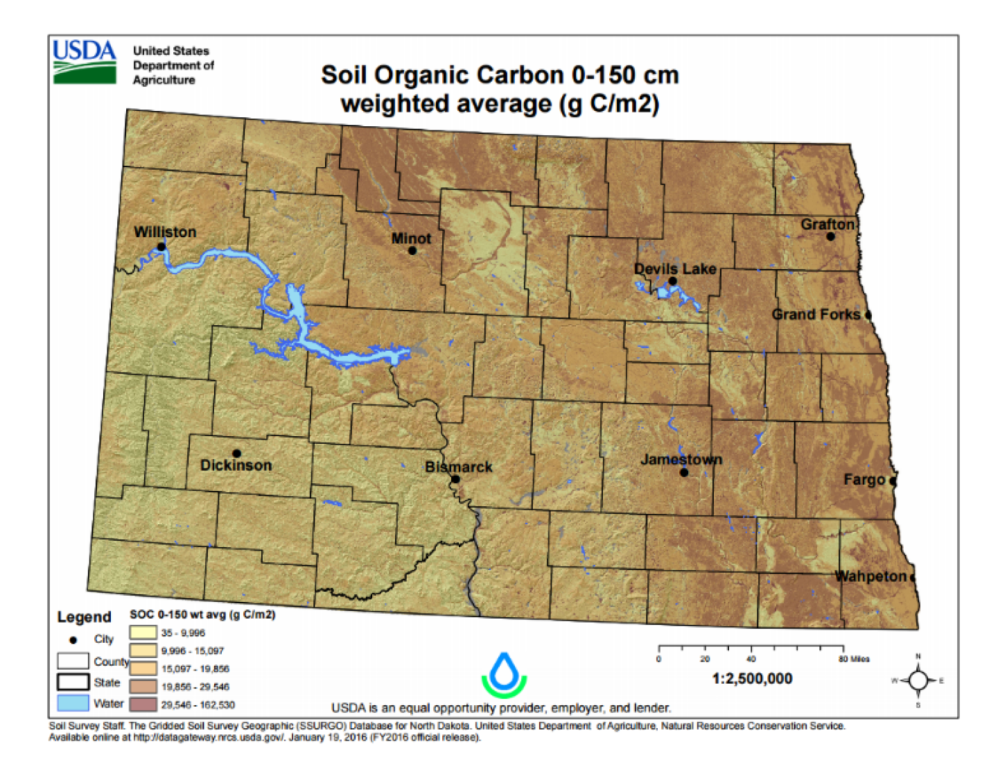
These maps may be copied without permission. The map unit design and the level of detail shown in the resulting maps is dependent on the map scale. Enlargement of these maps could cause misunderstanding of the detail of mapping and accuracy of soil line placement. If enlarged, maps do not show the small areas of contrasting soils that could have been shown at a larger scale.
If your area of interest is less than or equal to 100,000 acres, the Web Soil Survey may present these data at a more appropriate scale for your intended use.
- Suitabilities and Limitations for Use
- Soil Properties and Qualities