
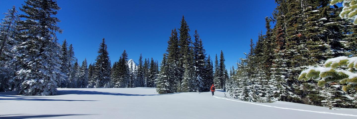
The Snow Survey and Water Supply Forecasting Program provides essential mountain hydroclimatic data across the West through the network of SNOTEL, SNOLITE, snow course and aerial marker sites. The standard suite of parameters for SNOTEL sites are precipitation, snow water equivalent, snow depth and ambient air temperature. Additional extended parameters available for some sites include soil moisture, soil temperature, wind, solar radiation, net solar radiation and relative humidity. This page provides access to these data reports and products.
Report Generator
Access all data provided by the Snow Survey and Water Supply Forecasting Program. This tool allows users to generate customized reports from a variety of networks that can include site data and metadata as either tables or charts. These data can be exported as HTML or CSV.
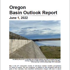
Water Supply
Access Water Supply Outlook Reports as well as other resources for information on reservoir storage, streamflow forecasts and monthly basin conditions.
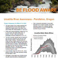
Flood Awareness Reports
Access the most recent flood awareness reports for the McKay and Umatilla watersheds. The reports provide snowpack data in areas that are at high risk of flash flooding due to the potential for rapid snowmelt either from rain-on-snow events or warm temperatures.
More Reports
Daily Update Report
This daily summary includes daily provisional SWE and precipitation data for all sites in Oregon organized by basin.
West-Wide Update
The western summary report includes daily SWE and precipitation data for western states and large river basins.
Basin Data Report
A monthly report with data for precipitation, snowpack, reservoirs, or streamflow forecasts by major river basins.
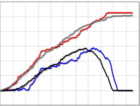
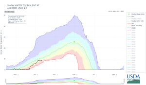
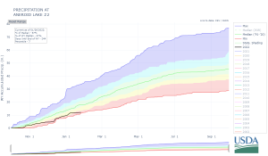
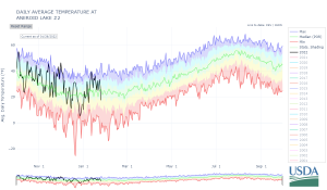
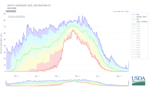
Interactive Time-Series Charts
The below links re-direct to a directory where users can access these charts (select the html file), in addition to the raw data files in CSV and JSON formats.
1991-2020 Normals
Starting in water year 2021, the period 1991 to 2020 will be used for the 30-year normal period. This period is updated every 10 years and is used to characterize the current hydroclimatology at a site or in a watershed. Learn more by clicking the header above.
Important Data Notices
Provisional Data
Midnight data are the only data controlled for quality. All SNOTEL and SNOLITE data are controlled for quality assurance by data managers. Therefore, more recent data may still be provisional.
Interim Issue Resolution for Air Temperature Data Bias
The extended range air temperature sensors used at SNOTEL sites in the continental U.S. calculate temperature from sensor output voltage using a linear least-squares regression algorithm. It has been determined that use of the linear least-squares regression algorithm has resulted in a data bias. The Snow Survey and Water Supply Forecasting Program is actively working on a correction technique for this issue.
More Information
Contact Oregon Snow Survey
For questions regarding data products and reports, contact us by clicking the header above.